
Map Phrachan Lake: 11 km running and cycling circuit, outdoor sports park
May 6, 2023
Since my wife and I found out about this place, we can’t stop visiting it )) Every other day or even every day after work, we come here to walk the route of almost 11 km.
We have a gym in the condominium with treadmills and exercise bikes, we go there, but walking outside is still more fun!
We have walked all over Pattaya many times, and I am preparing a hiking map for you, it has a park with walking paths and long streets with a minimum of traffic lights and a small number of people. But still, Pattaya is a tourist city crowded with people and transport, which is not very suitable for walking and cycling.
We found a few parks in suburban Pattaya for walking, and they are really nice to relax or play sports in, but they are all “normal” size, usually with a circular route of several kilometers.
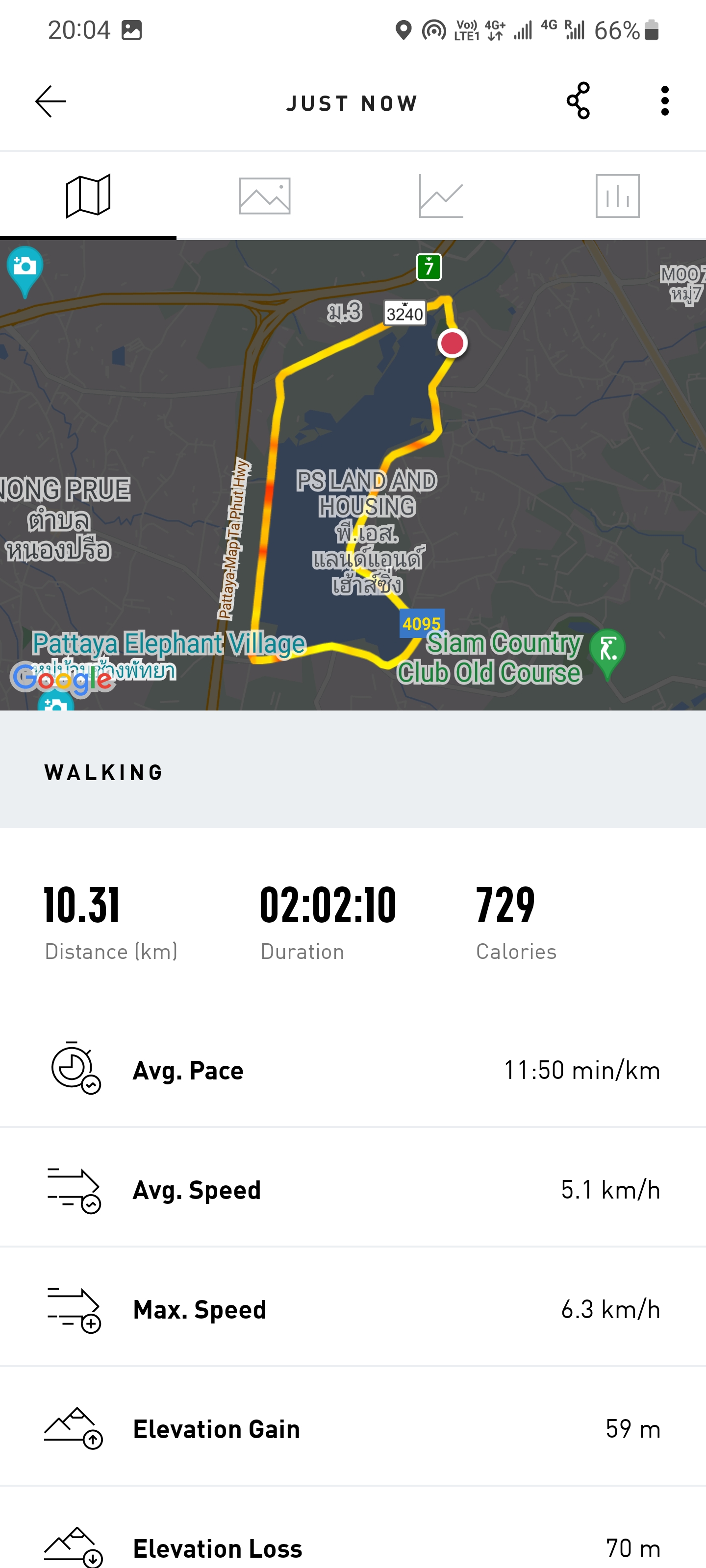
But the circular route around Lake Map Phrachan with a length of 11 km is a real challenge! A real outlet for those who miss long walks in Asian closeness.
How to get to Map Phrachan Reservoir
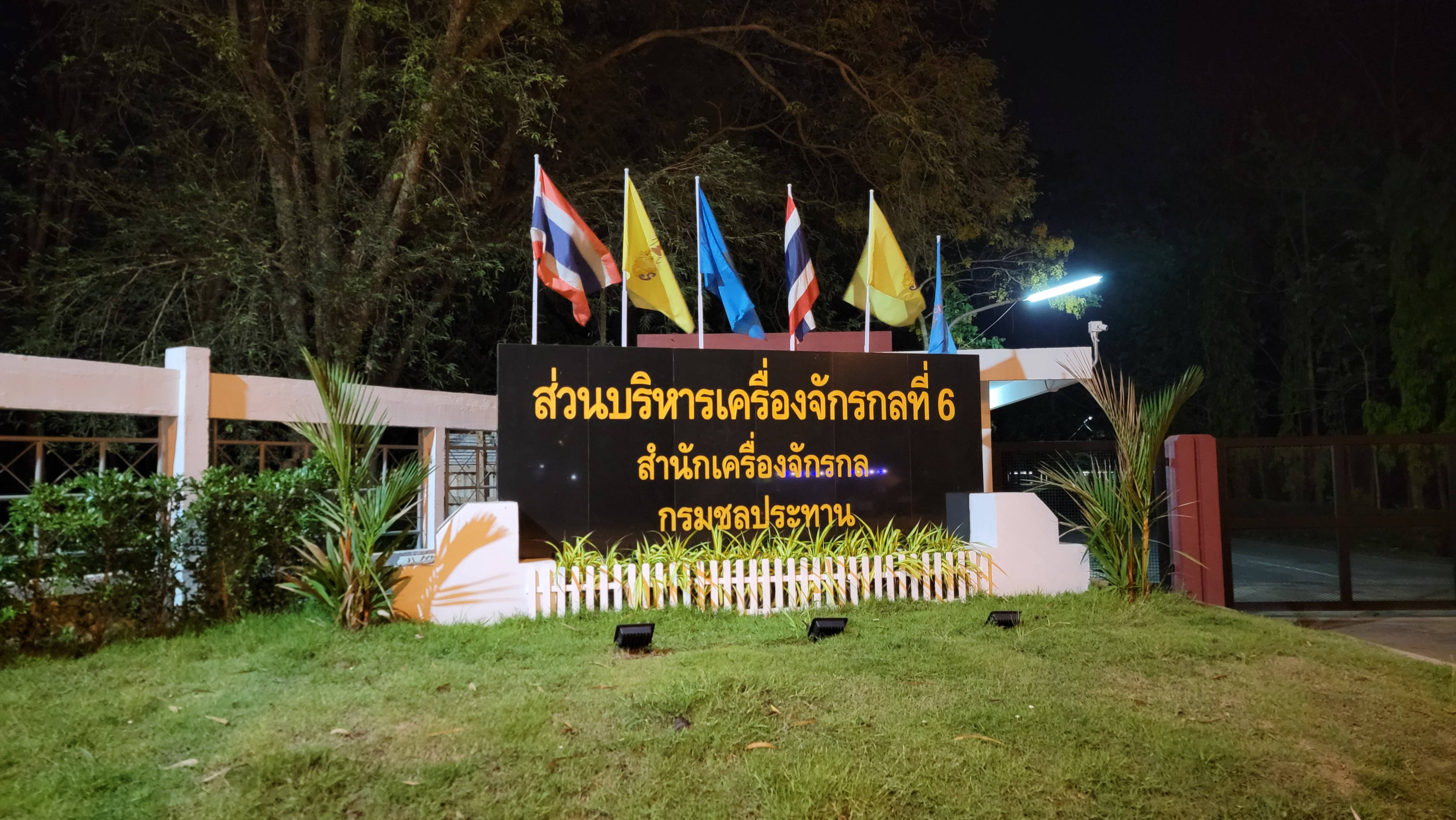
Map Phrachan Reservoir is located 7 km from Pattaya.
From Sukhumvit Road, turn onto Pornprapanimit Road. This road turns several times, but you do not need to leave it. At the same time, be careful at intersections with major roads, as there are no traffic lights. The path also passes through the market, where traffic is usually difficult.
On the following map, the path to Map Phrachan Lake from Pattaya is marked with a blue line.
Is the cycling and walking trail around Map Phrachan Lake a closed loop?
Yes, moving only forward on the bike path or walking path along it, you can return to the same place where you started. Your path will not be the same!
The circular route for pedestrians and cyclists is marked with a red line on the map.
Slowly, at a walking pace, stopping to take photos, we pass this route in as much as 3 hours.
Without stopping, at a fast pace, we cover this path in 2 hours.
I plan to try to run it slowly and, of course, ride a bike.
To give you an idea of the route, I rode around it on a motorbike, the whole way was within 12 minutes.
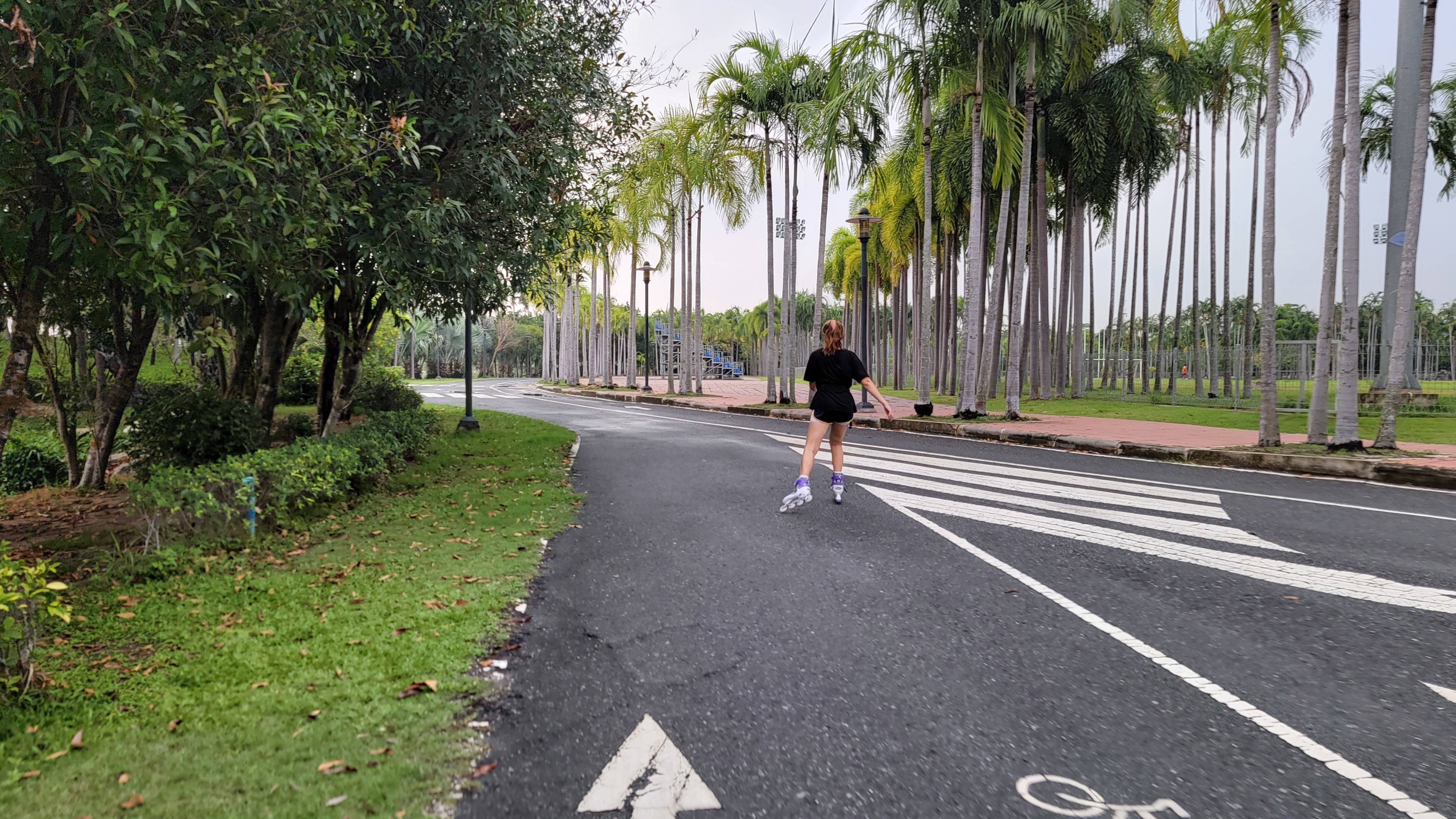
Walking and cycling paths around Lake Map Phrachan
The route can be conditionally divided into several parts (zones).
Let's walk along the route around Lake Map Phrachan counterclockwise.
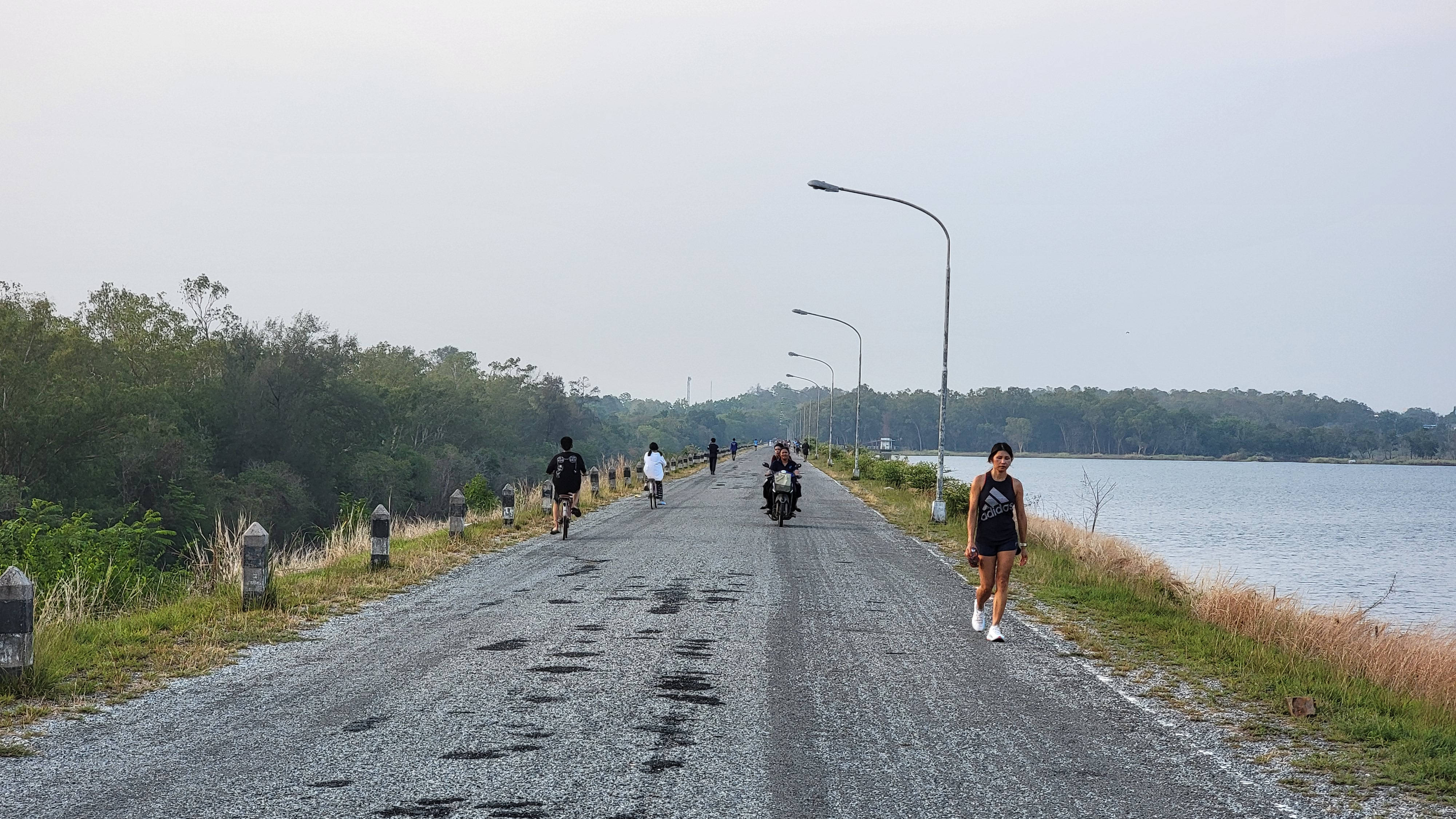
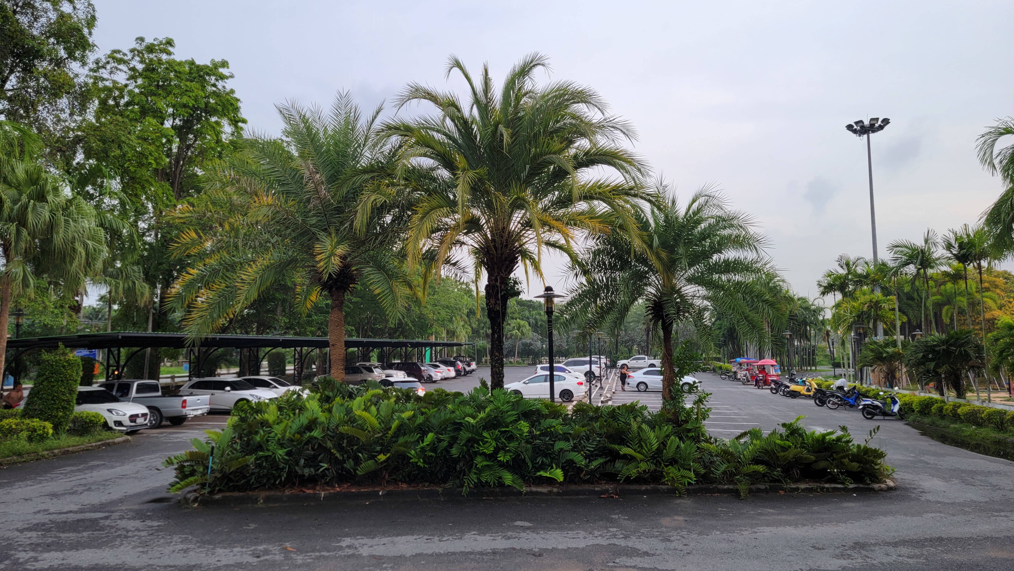
At the very beginning, there is no separation between bicycle and pedestrian paths. Although there is a wide lane between the bike path and the road, which is mainly used as parking lots.
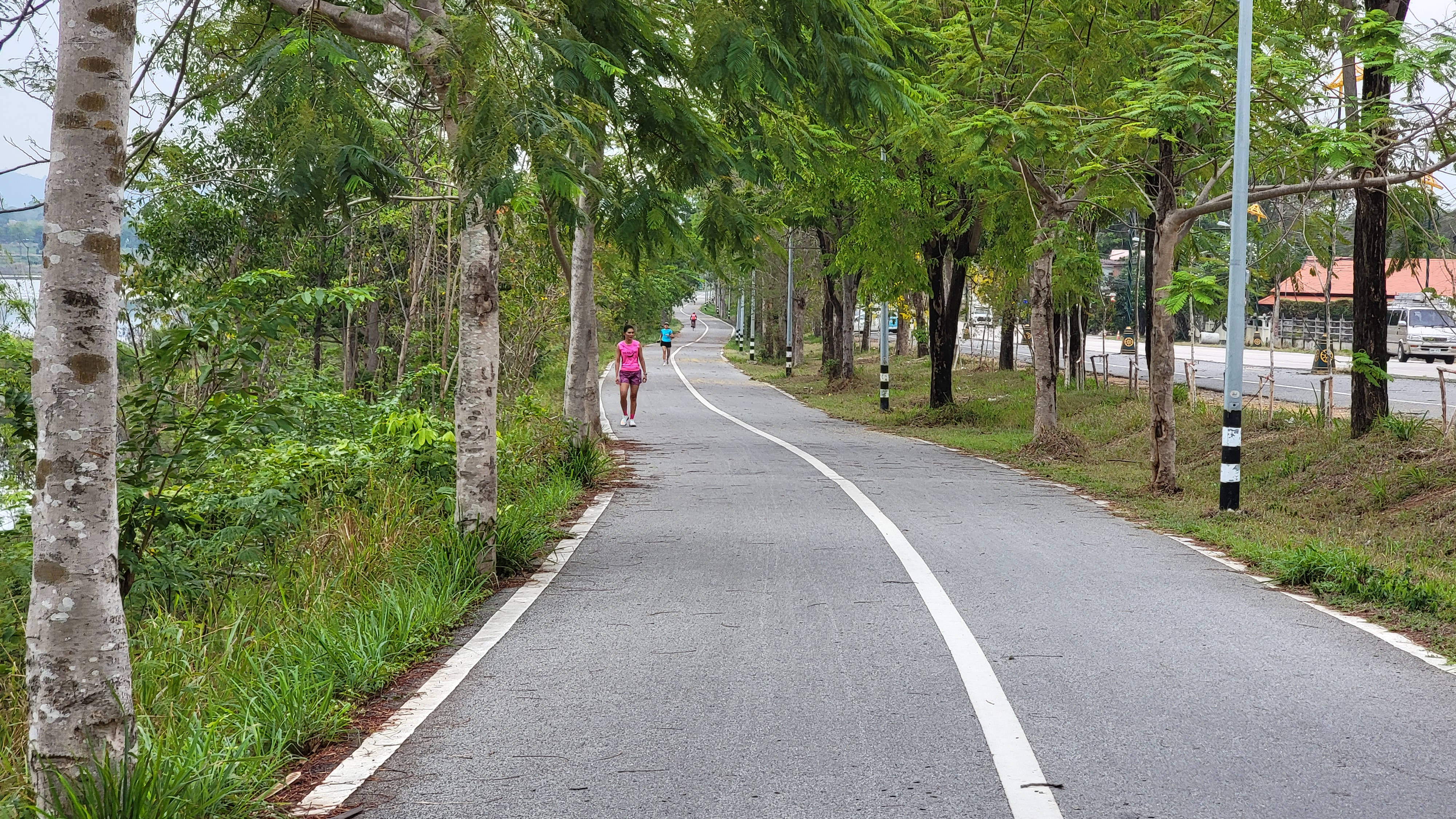
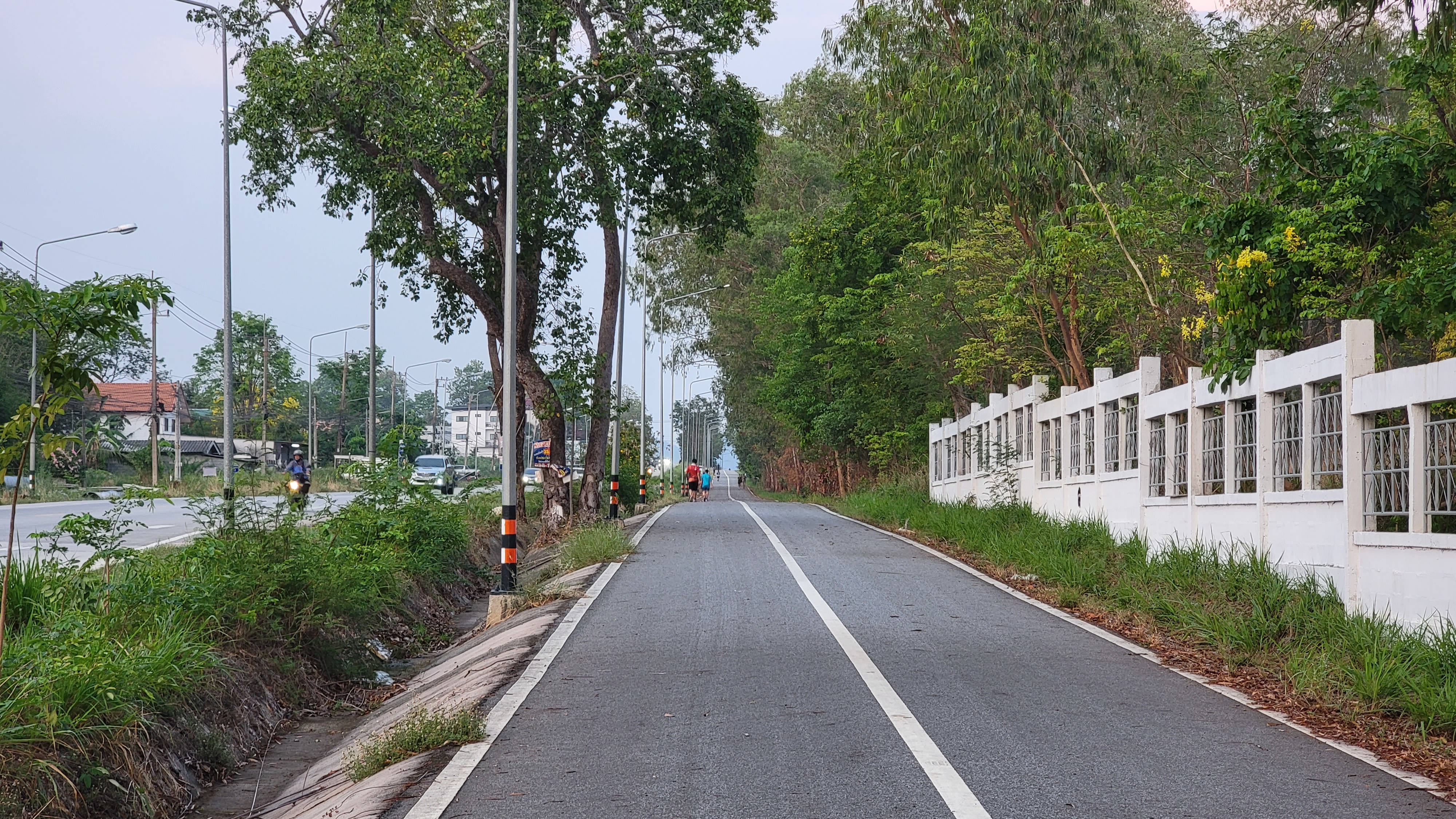
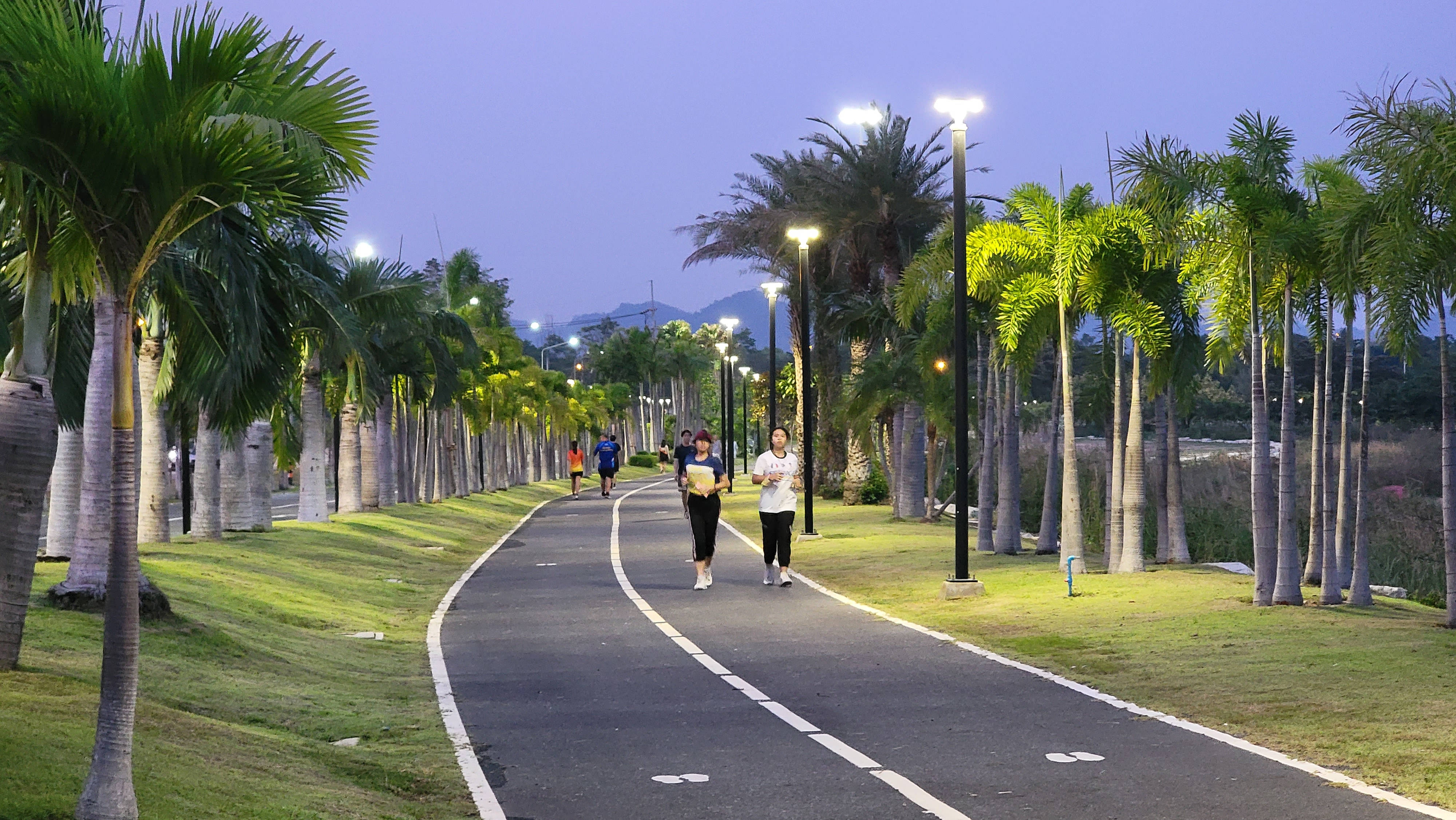
Then the road splits into two: on the left is a pedestrian path, on the right is a bicycle path. Each of them is divided by a strip in half: for passing and oncoming traffic. Let me remind you that in Thailand you drive on the left.

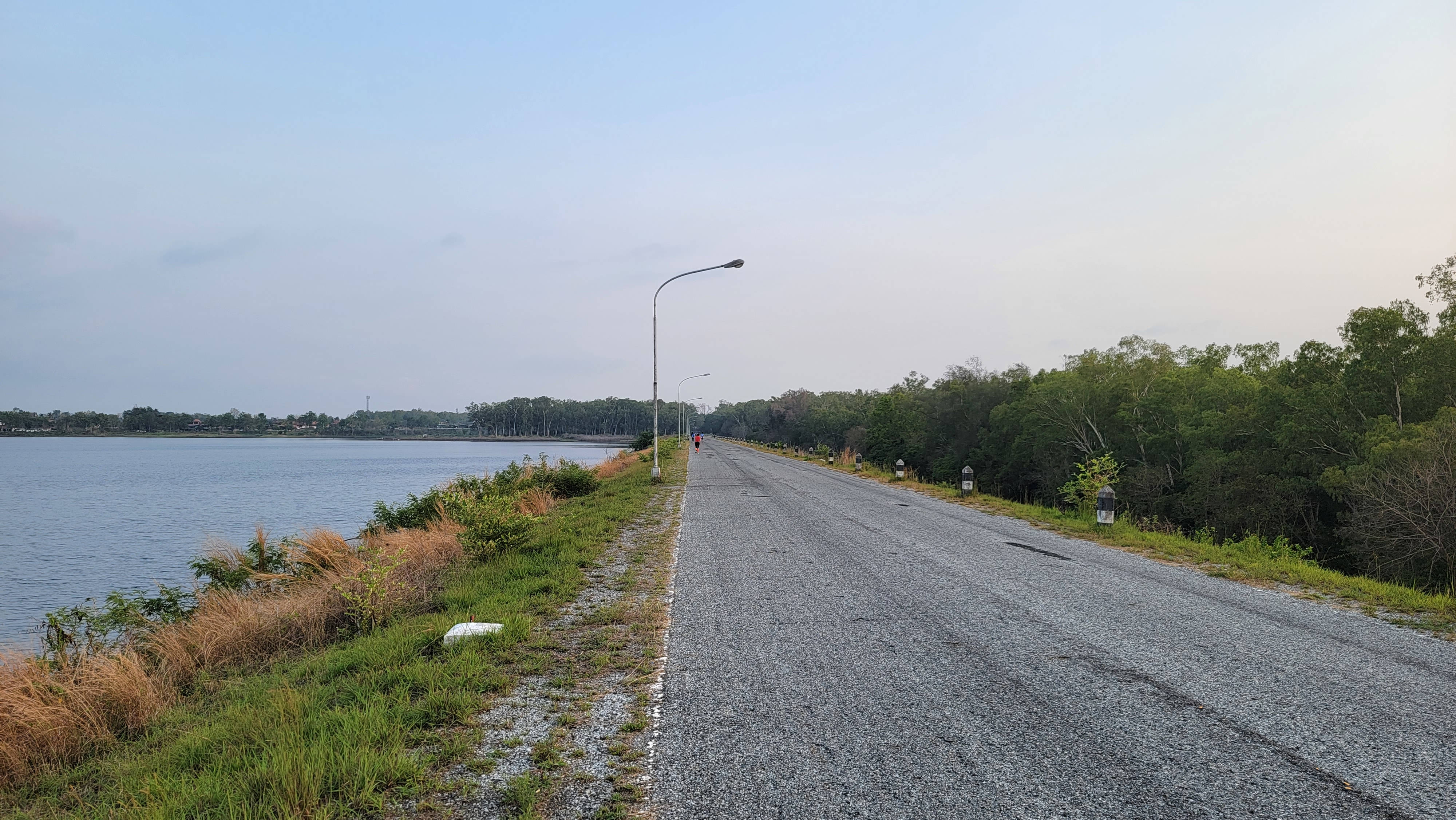
Thus, the path extends for about 5 km, turning after the shoreline of the lake.
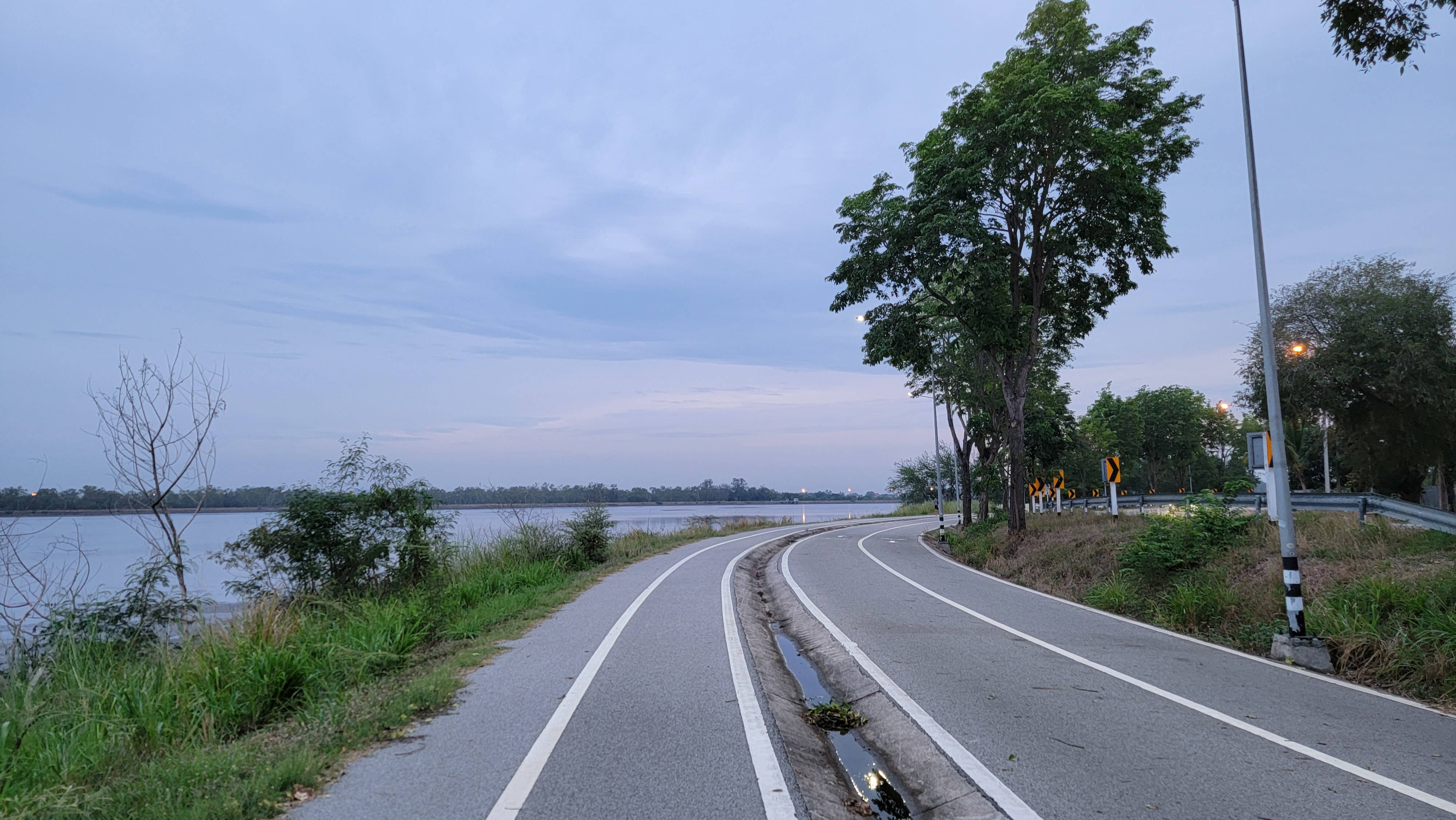
In the evening and at night, the road is very well lit throughout the entire journey, except for the last section, which I will mention later when we reach it.

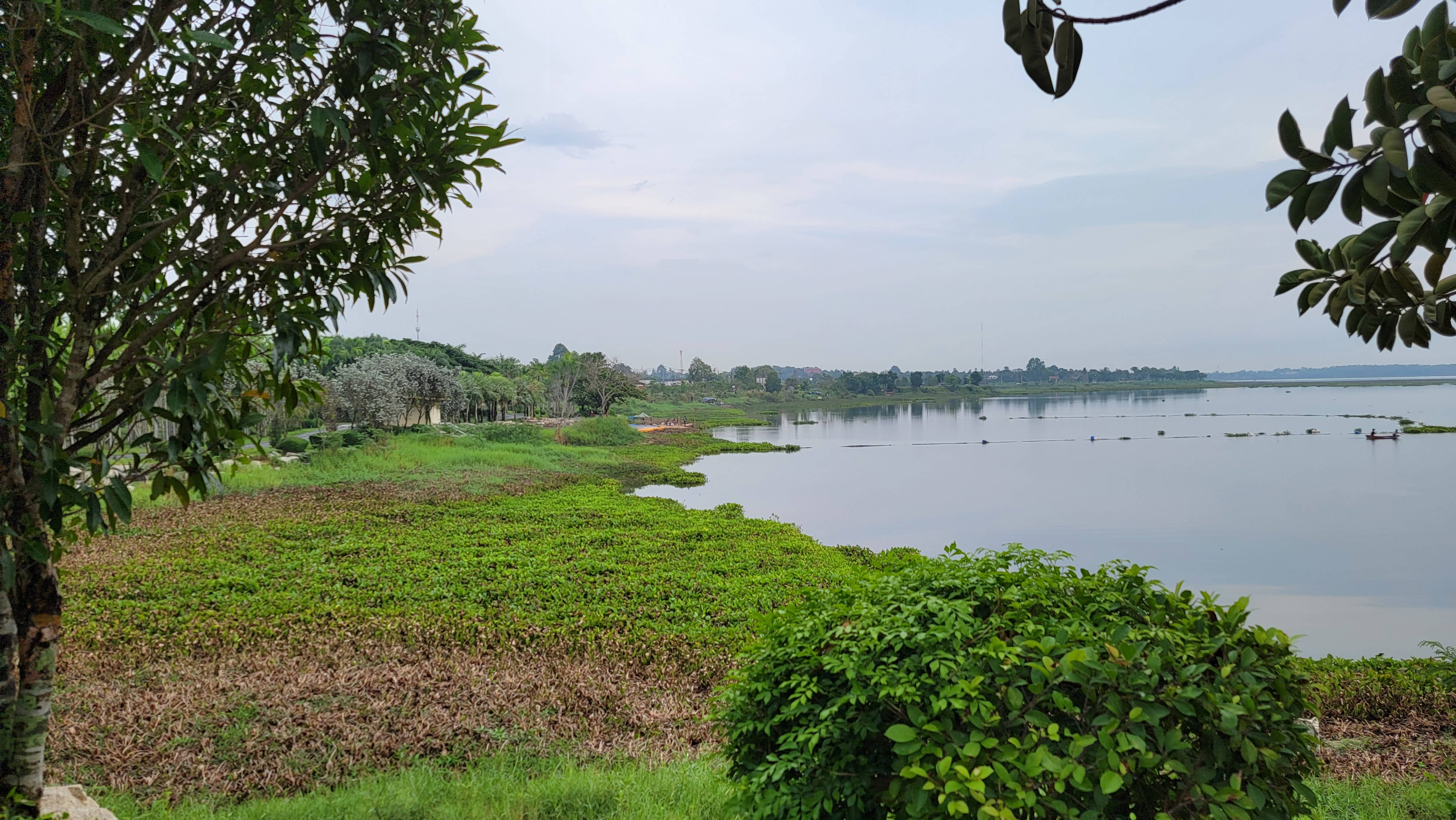
You can admire the lake and its opposite side.
In rare places, even benches come across. There are no litter bins along the entire path – only in the park in the middle of the path you will come across litter bins and toilets.
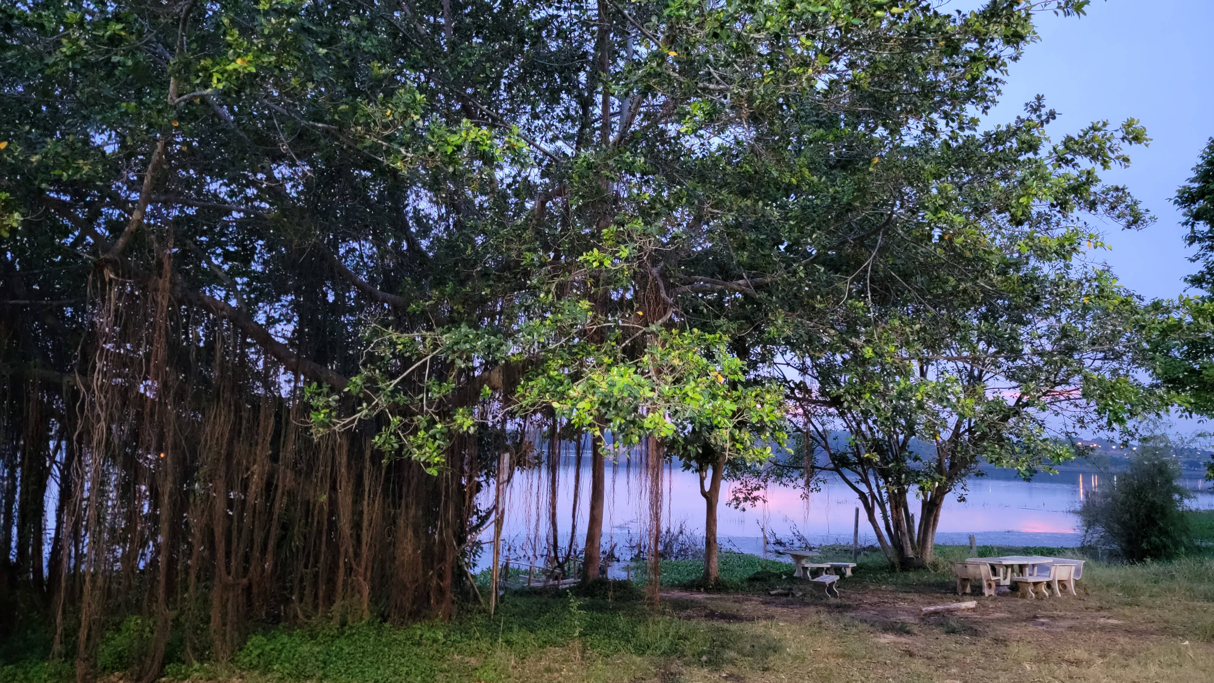
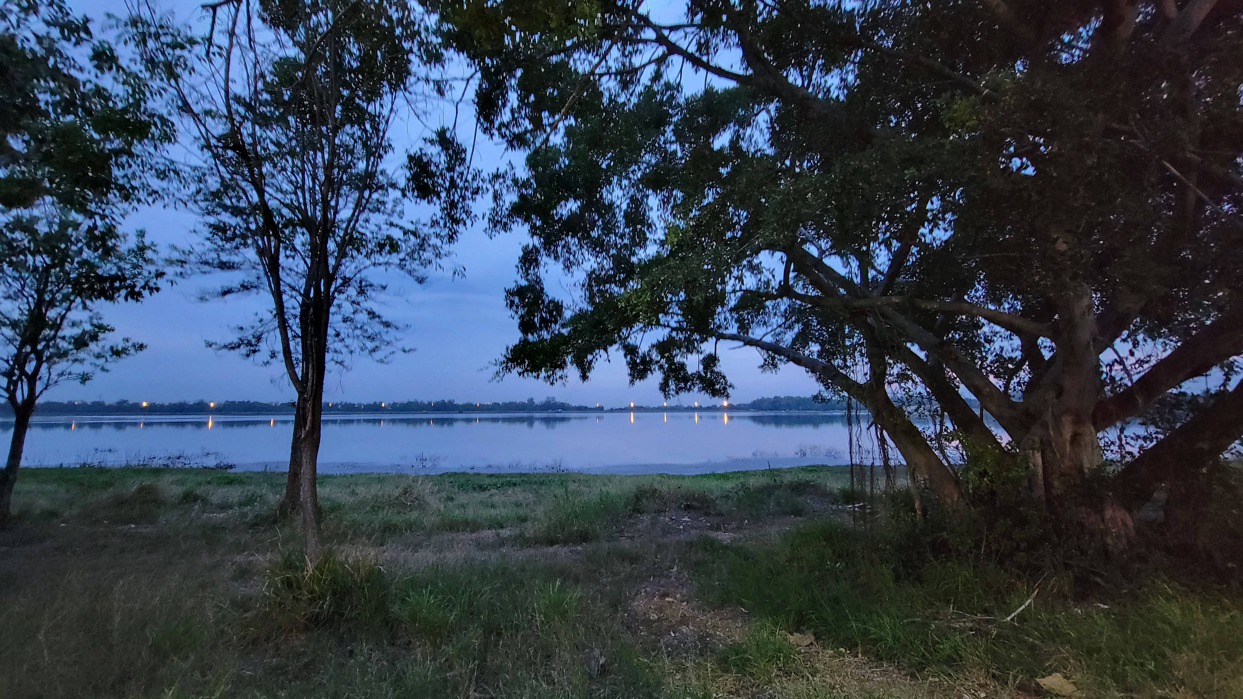
On the way, you will meet the place that I have named on the map as “Mini Park”. This is a small area with trees and a view of the lake.
The same place, but before dusk. Every time I pass here, I smell a very sweet and pleasant smell of flowers.
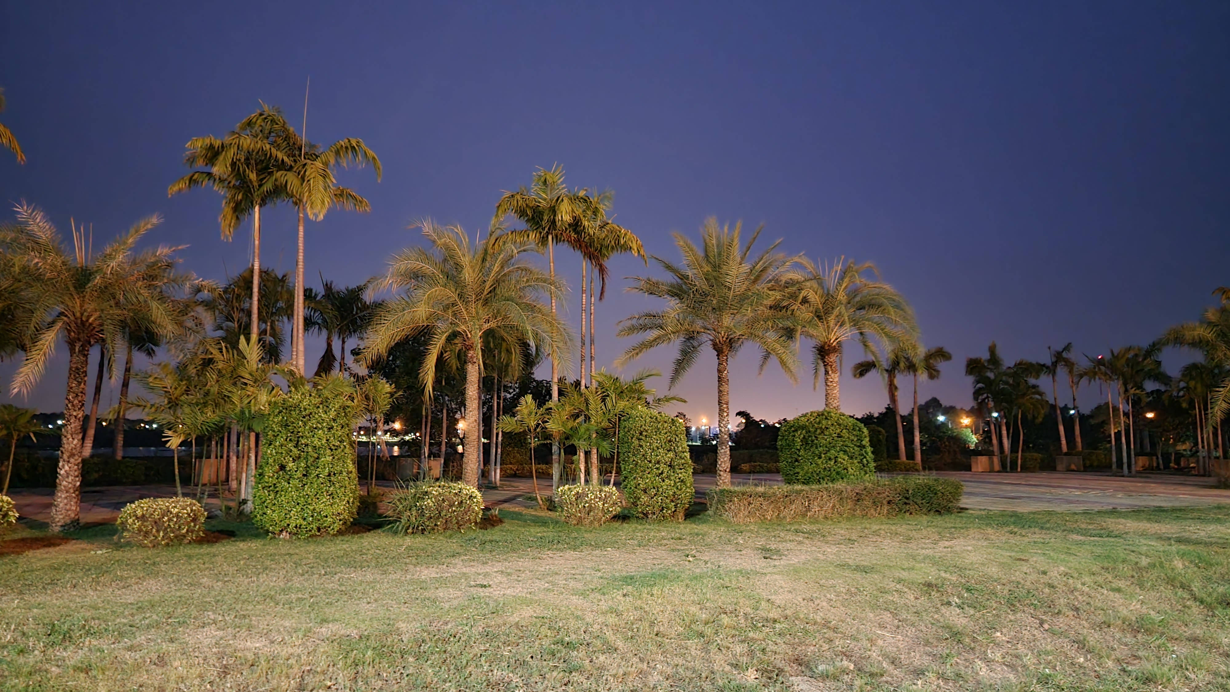
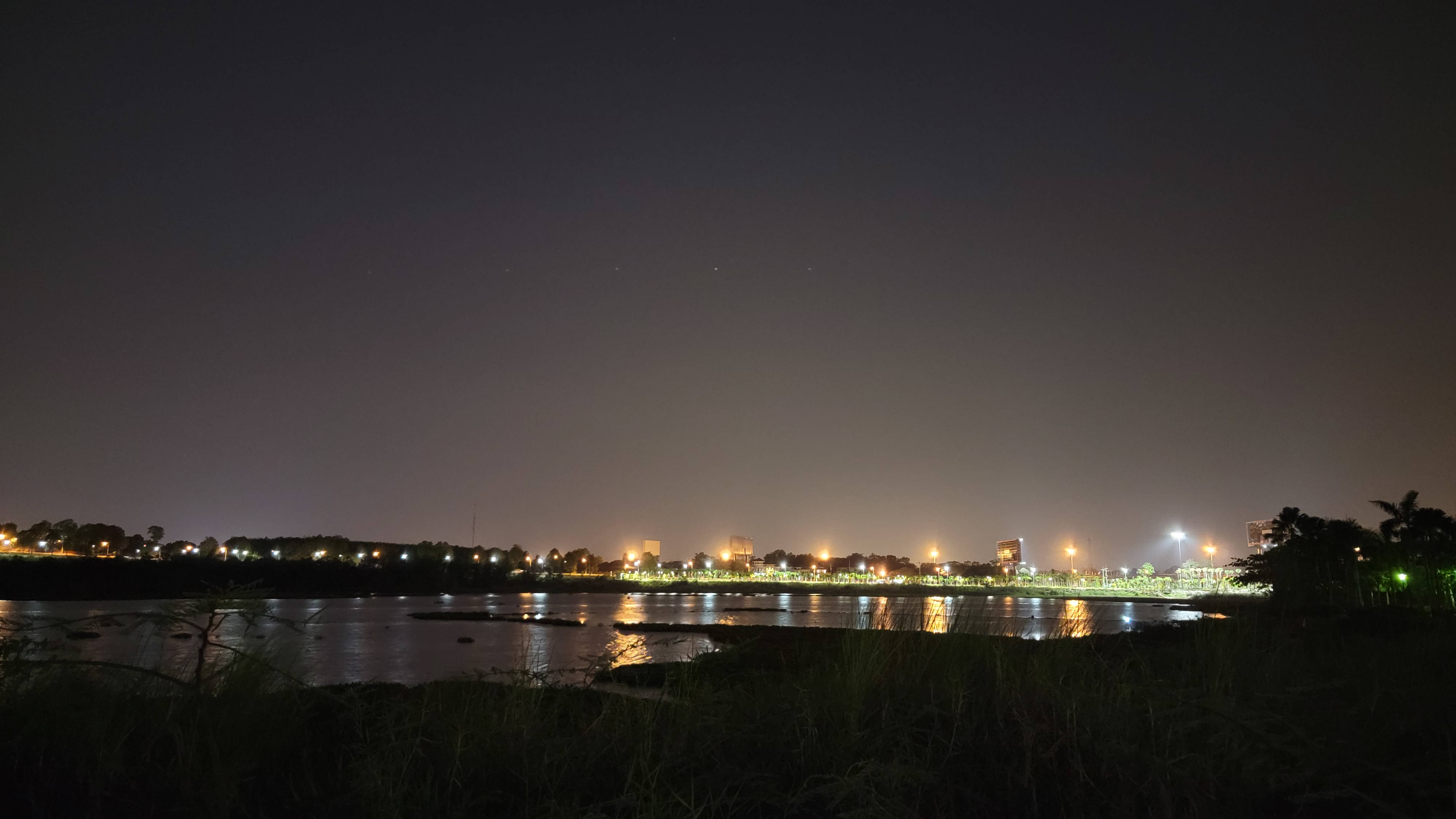
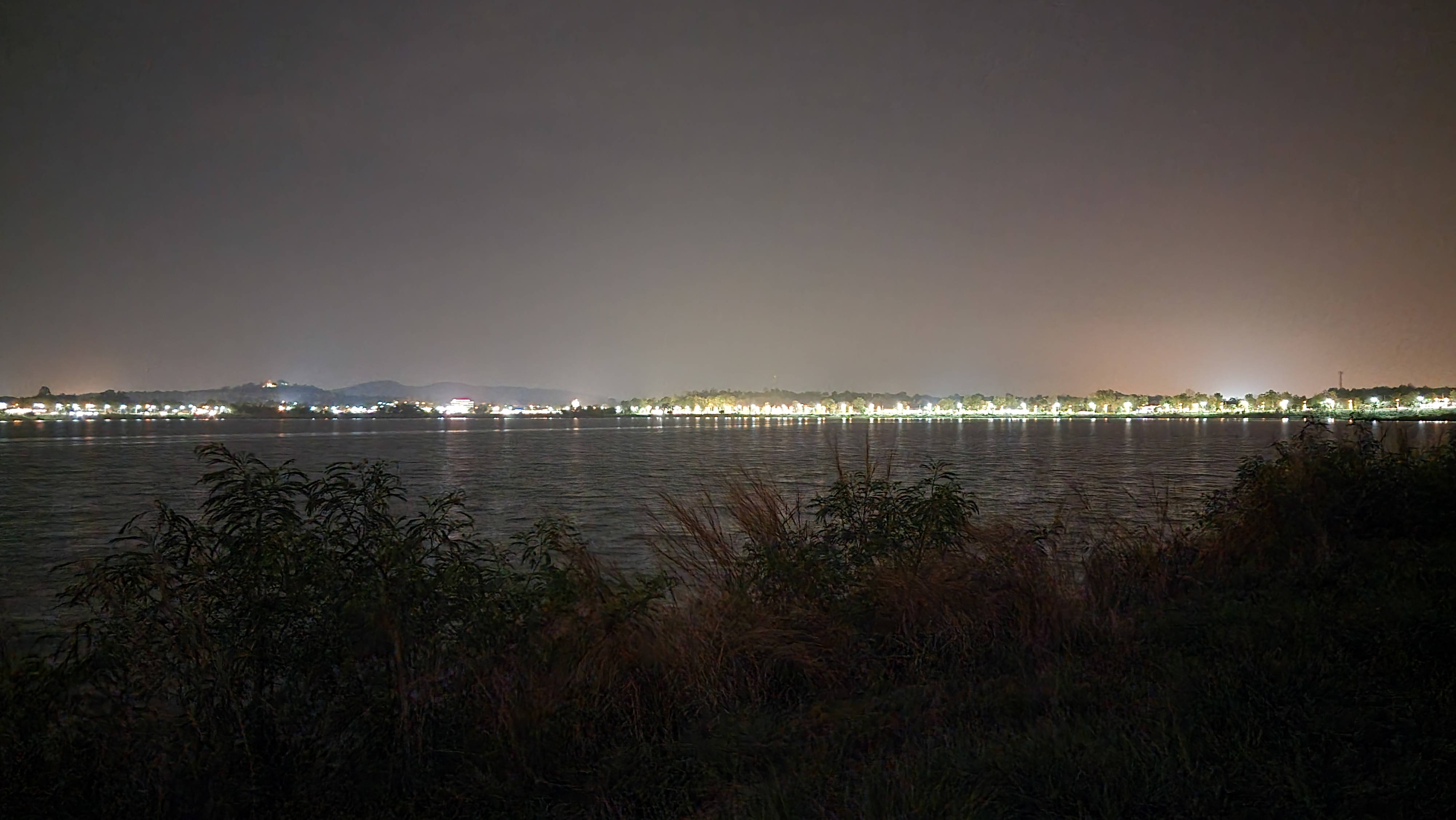
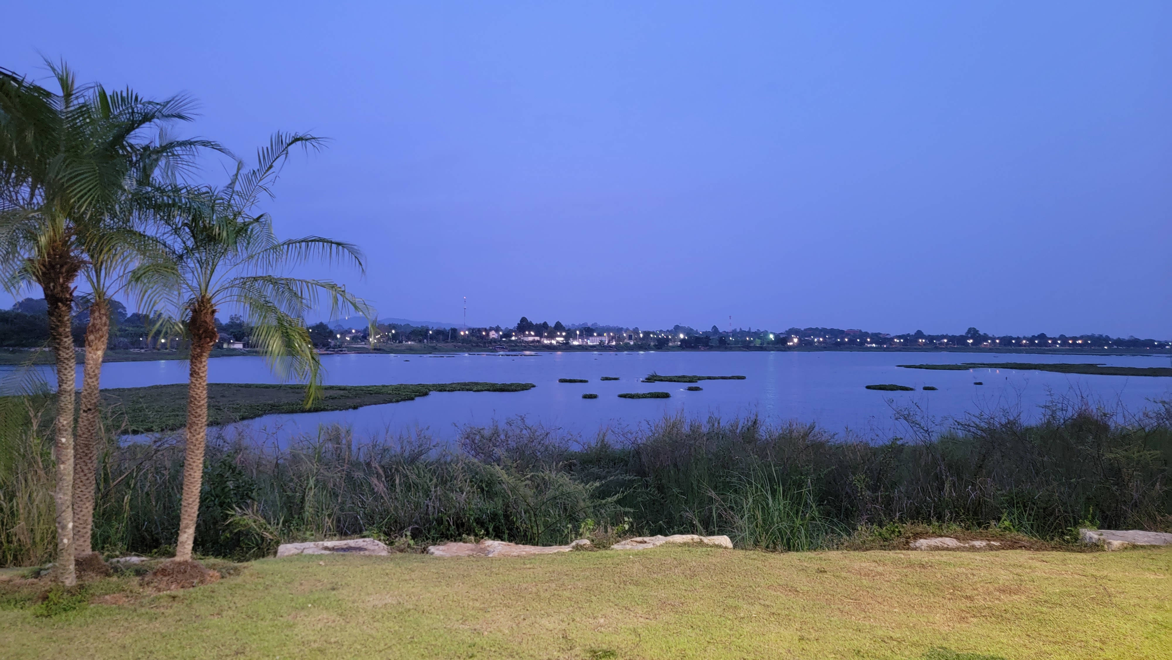
The view from the lakeside at night differs depending on where you are: in some places the opposite side is busy and full of lights and moving cars, and in some places there are fewer lights.
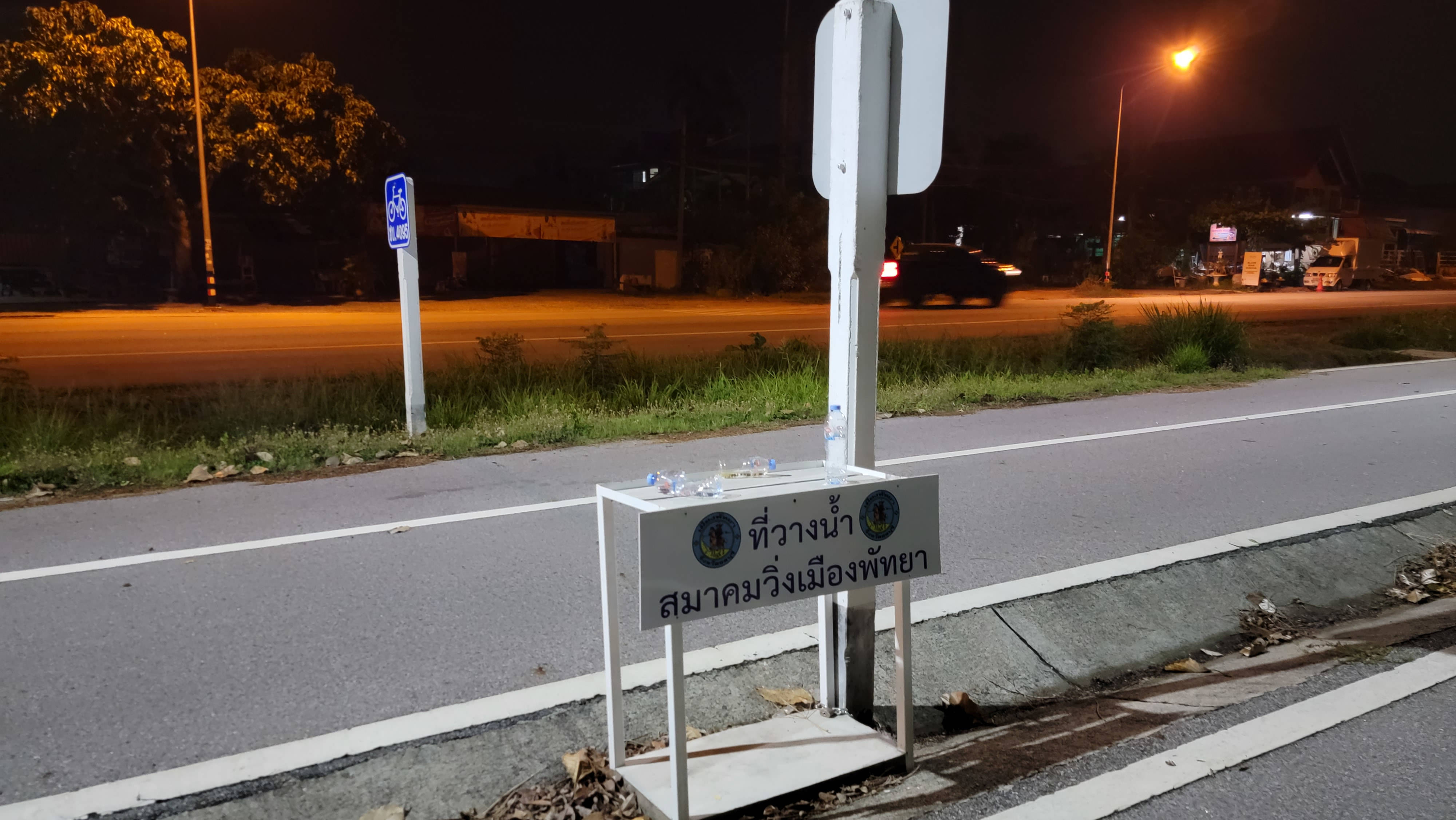
From time to time you will come across tables with bottles of water. This is NOT free water. This is a place where anyone can put their water in storage. These bottles have owners, and they will come back for them.
On the way you will meet Map Prachan Reservoir Park.
You definitely won't miss it – if you get to it, of course))))

The park is not small – when I decided to explore it and take photos, by the end of the walk it turned out that I had walked 2 km.

A little lower we will return to this park, but for now we will continue our journey.

You may not immediately find your way out of the park from the opposite side, as the roads fork and merge again.
There is no special division into bike paths and pedestrian paths in the park, so be careful.
At the exit from the park, the road again divides into a pedestrian part and a bicycle part.
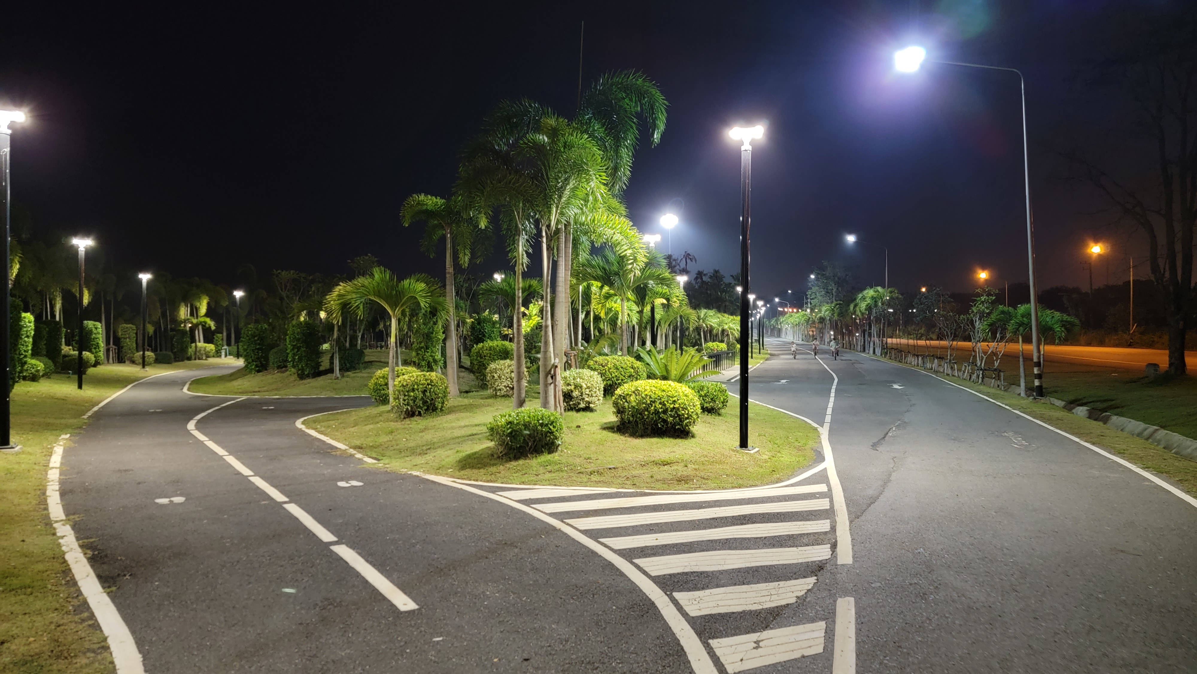
The road in the park and on the subsequent section is well lit.

After a while, the bike path and the footpath merge into one again – be mutually polite and attentive.
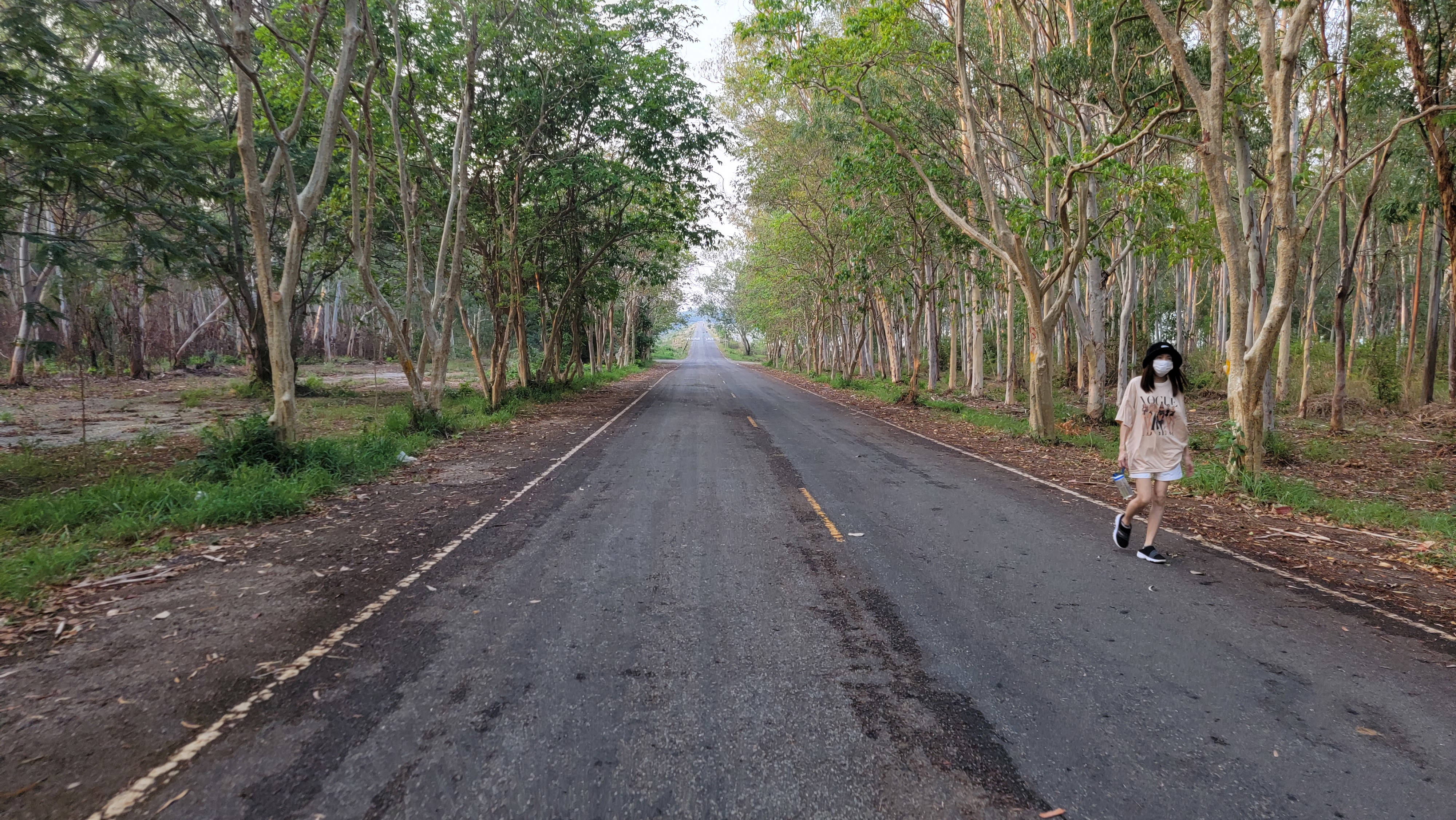
The path is straight, but there is a rather steep climb up.
At some point the road will end, but you will see a turn to the left.
There are gates and the time is indicated on them: 6.00-18.30. I passed through this gate (and the next exit gate) in the later hours. The difference is as follows: until 18.30 both gates are open, and after 18.30 one gate is open. Perhaps this matters for vehicles, but for pedestrians there is no difference.
On the opposite side, after 18.30, the gates for cars are closed, but motorbikes (especially pedestrians) can get out through a small gate.
I passed there at 20-21 o'clock, perhaps in the dead of night all the gates are still closed, although there are quite a lot of fishermen here.
What awaits us behind the gates? This is the last section of the path, after passing which you will return to the place from which you started your route.
You can see streetlights all along the way, but at the time of writing they are not working!
The road is also not yet completed – for the most part it is not covered with asphalt, but the surface of the road is very flat. That is, here you can run and ride a bike without fear of anything.
Although you still need to be wary of motorbikes – they can get here (for example, in the video above, I drive along this road).
The road splits into two roads: one passes near the shore of the lake, the second is a little to the side and a little lower.

In some places the roads are connected by stairs – I have seen how some people use these stairs for exercises (climb up and down).
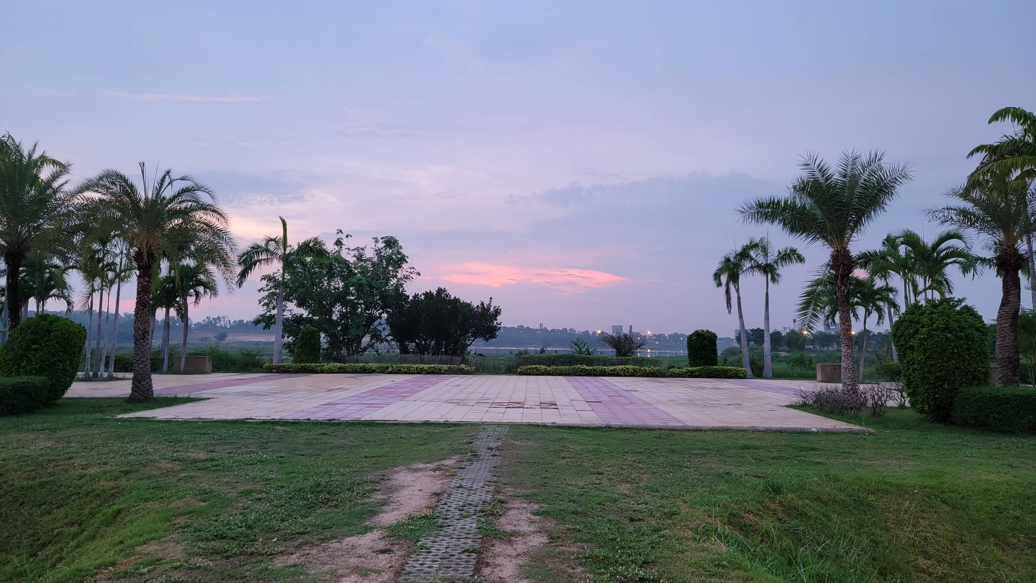
If you come here early in the morning, you can watch the sunrise from here.
If you come here in the evening, then to watch the sunset it is better to come to the opposite side of the lake, but even here you can see it quite well.
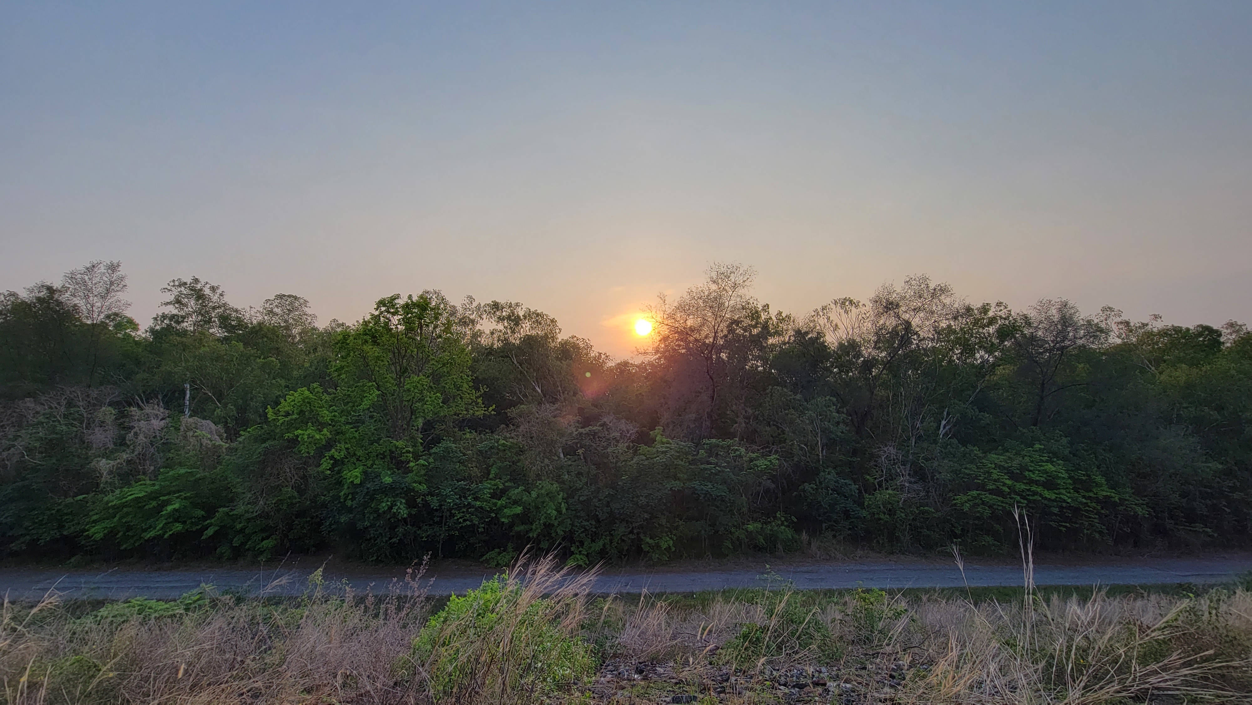
View of the lake from here during the day.

The view of the opposite shore from here at night is the most interesting view, on the opposite shore there are a lot of lights and cars, it seems that some kind of electric fireflies are swarming there.
I walked this path at night (it happened more by accident than planned), nothing terrible happened to me.
Full moon and clear weather.

There's also the Mabprachan Motocross Track, in case you were looking.
Map Prachan Reservoir Park
This place deserves special attention.
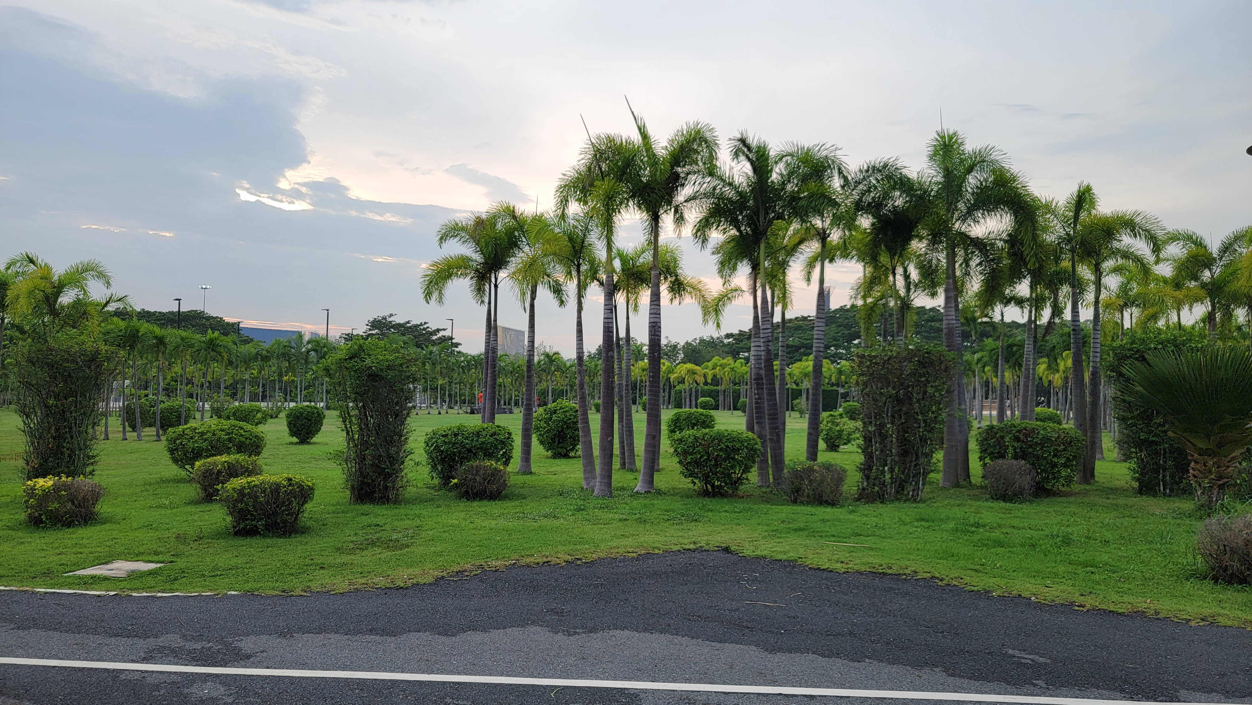
This is a huge park with a football field, volleyball court, mini football field, an open area for any physical activity and a network of roads.
This park has 2 large parking lots, so you can come here right away and play sports here. Also, opposite the park (across the road) there are two bike rental shops.
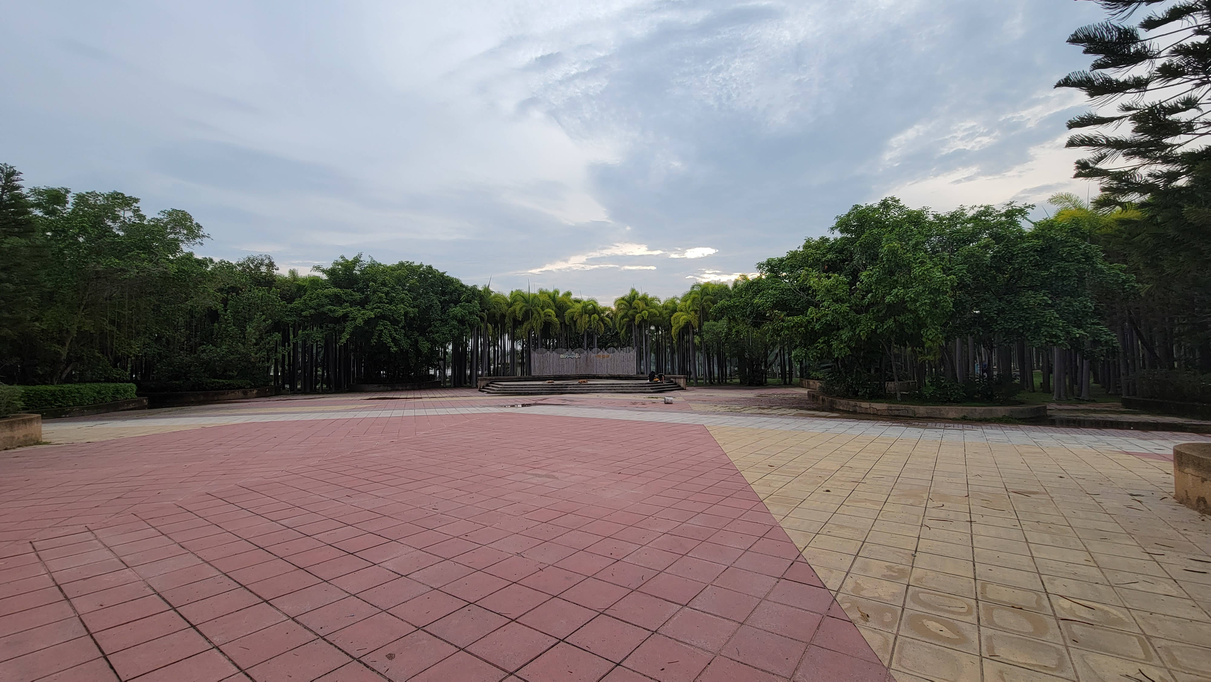
The entrance to the park greets us with a clock tower and two figures of elephants. The name of the park is presented in three long lines in Thai, the main thing that I understood is the following:
- Map Prachan Reservoir Park
- Tambon Pong Health Park (Pong Subdistrict Municipal Park for Outdoor Sports)
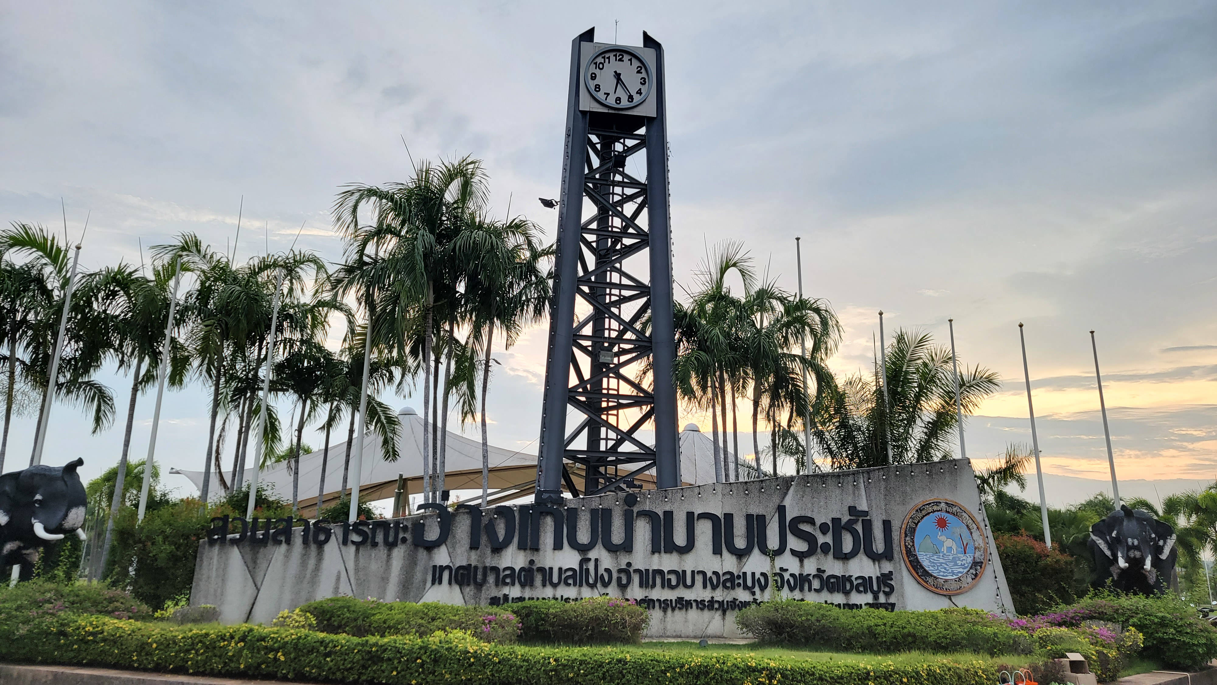
In the evenings, they dance aerobics in the open air – just not far from the clock tower.
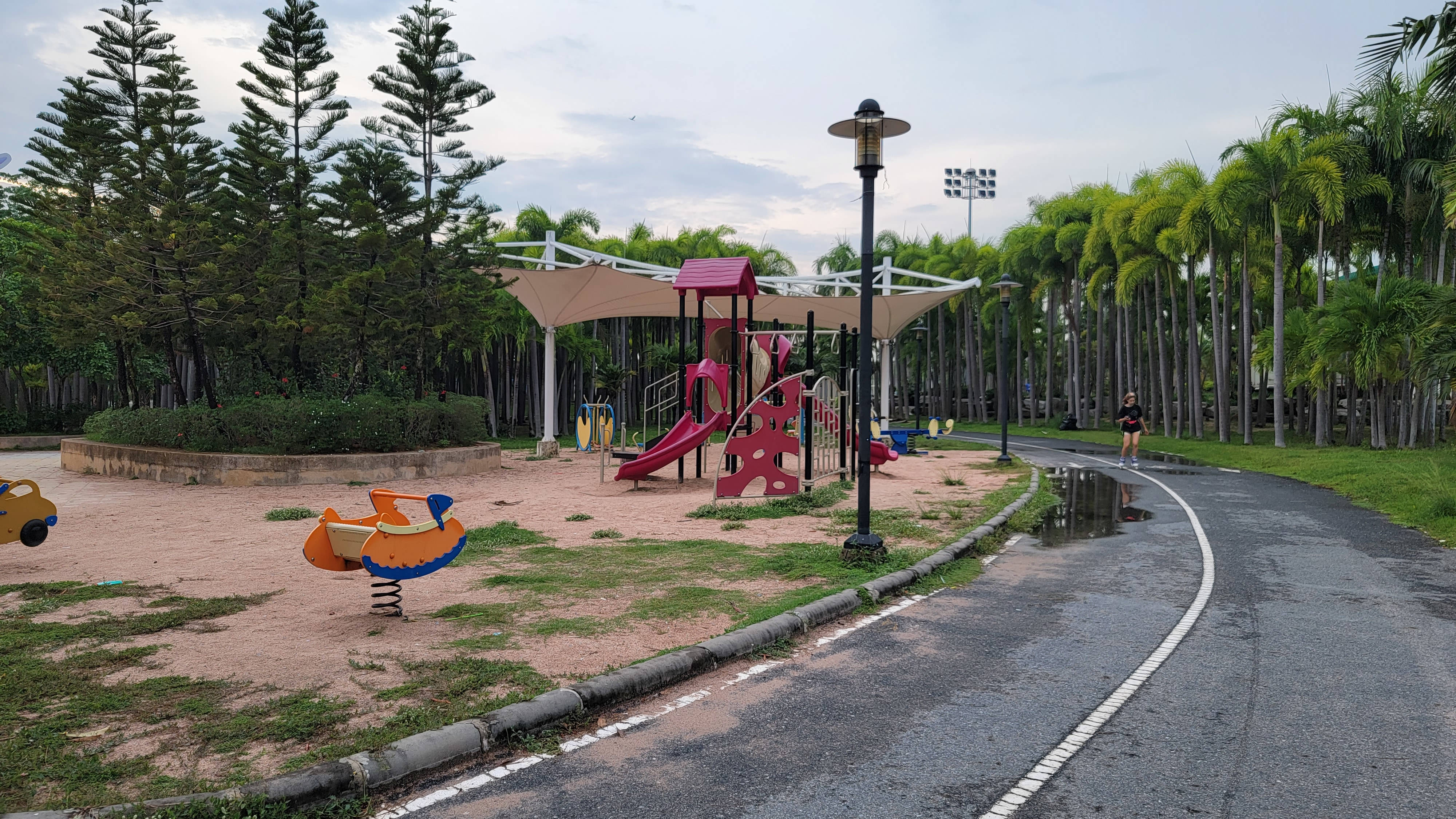
For children there are playgrounds.
There is a small pond in the park next to the large Map Prachan pond – if you don't want to walk around the big lake, you can walk around the small one.

A short video in the Map Prachan Reservoir Park:
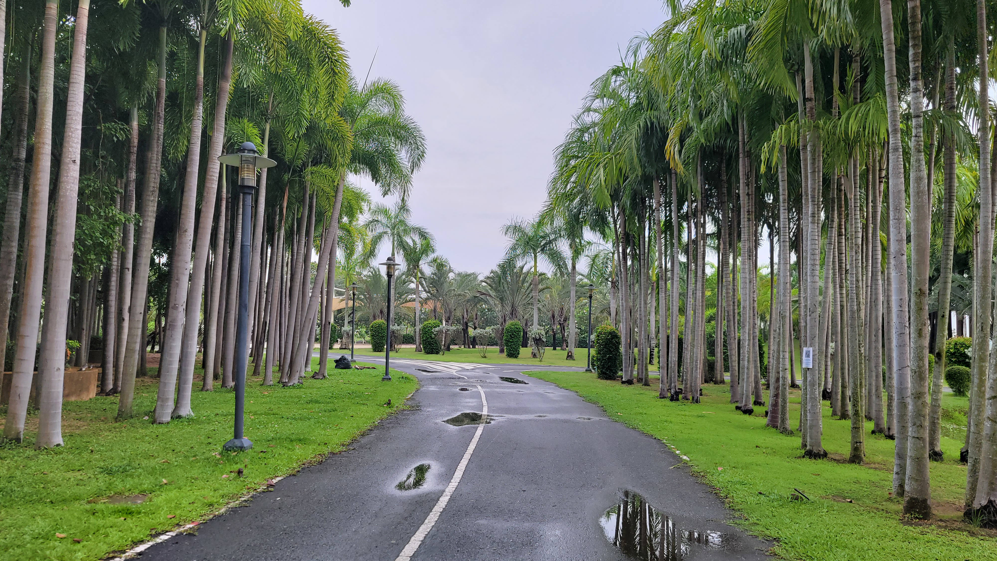
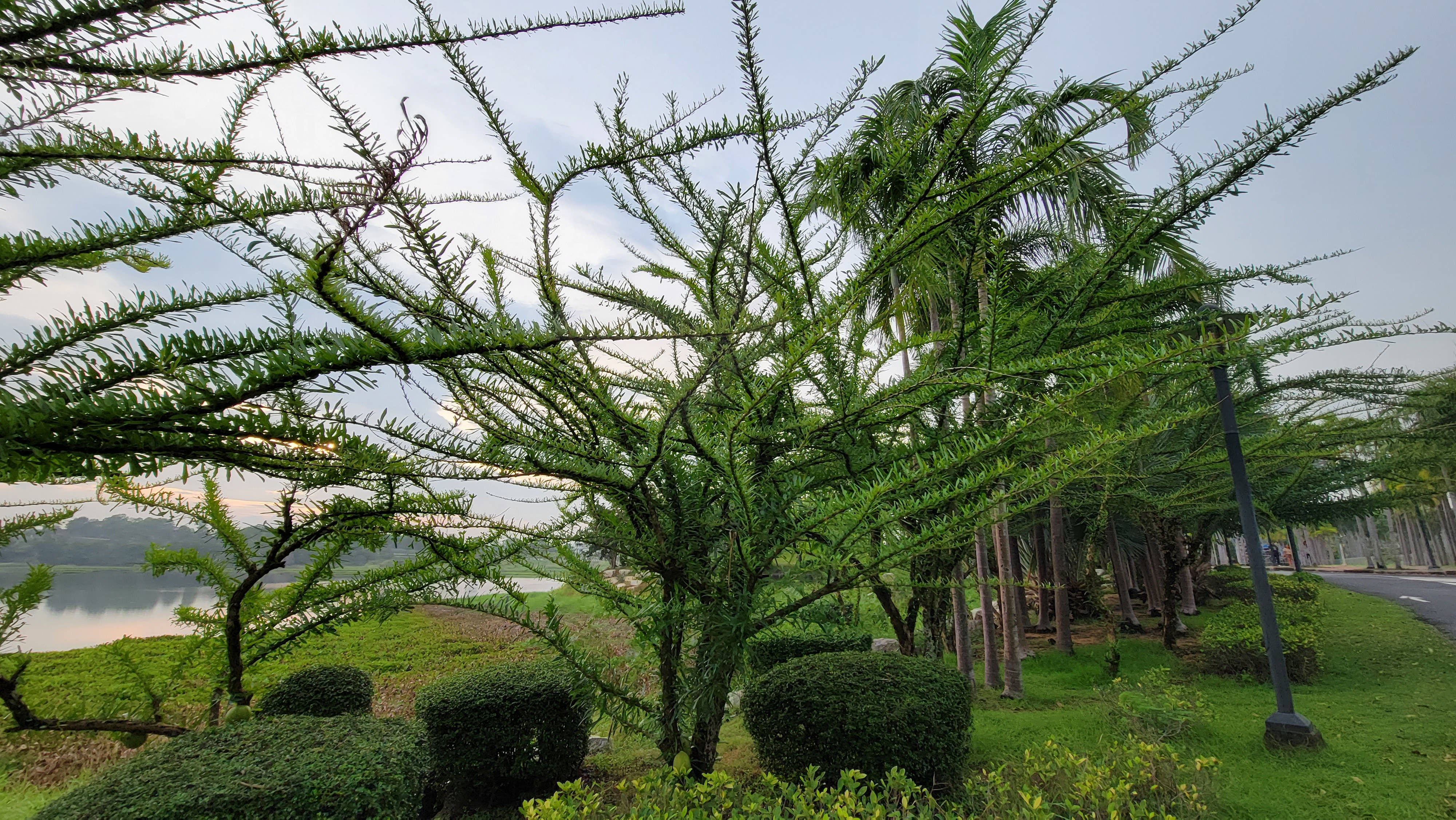
The park is very beautiful.

Landscape designers took into account and played with all the natural features of the park.

Some plants I saw for the first time in my life.
You can get lost in the park like in a maze, especially if you have walked 5 kilometers before that.

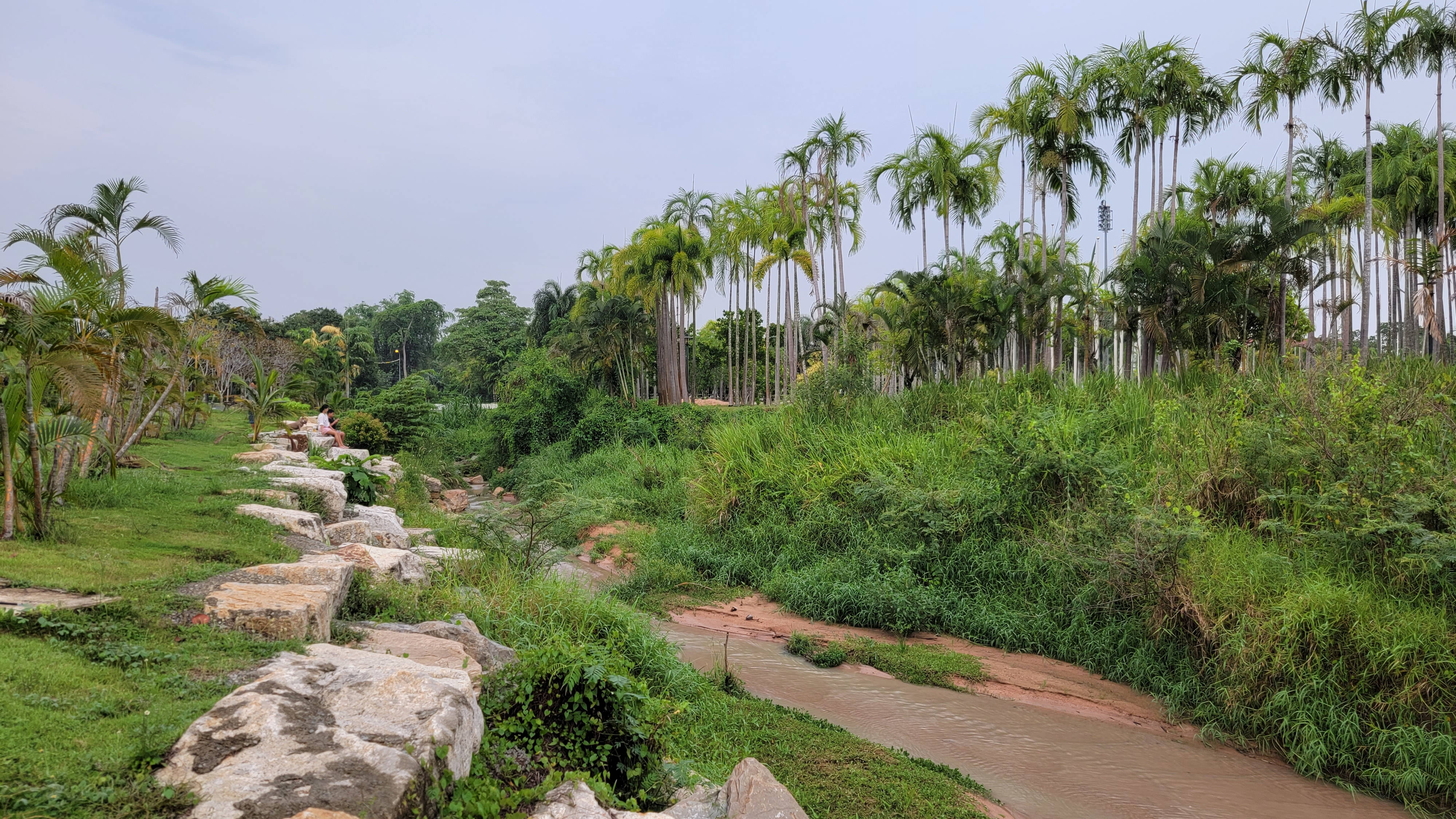
The park is right next to the lake.
And in the park there is a stream or a small river that flows into the lake. There is a bridge over this river. The river itself is not small – if you look at the map, you can see that it starts far from here. And by the way, this is not the only river flowing into this reservoir – you could pay attention to the bridges that you met along the way even before reaching the park.
If you look closely, then on the left side you will see a mini-football field (maybe this sport is called something else, I'm not sure).
At some point, I had an association of this place with Versailles.

The park is more for sports than recreation, so the park has many roads and few benches. But still, you will find plenty of places where you can relax: mostly on the banks of a lake or a river.

As far as I remember, in Versailles plants grow in tubs, not in open ground. And the entrance to Versailles is paid.

There is no division into bike paths and pedestrian paths in the park, so be careful and mutually polite.
Open space, for example, for exercise, aerobics, sports dances and any other outdoor activity.

Benches and awnings that fit very organically into the landscape and landscape.

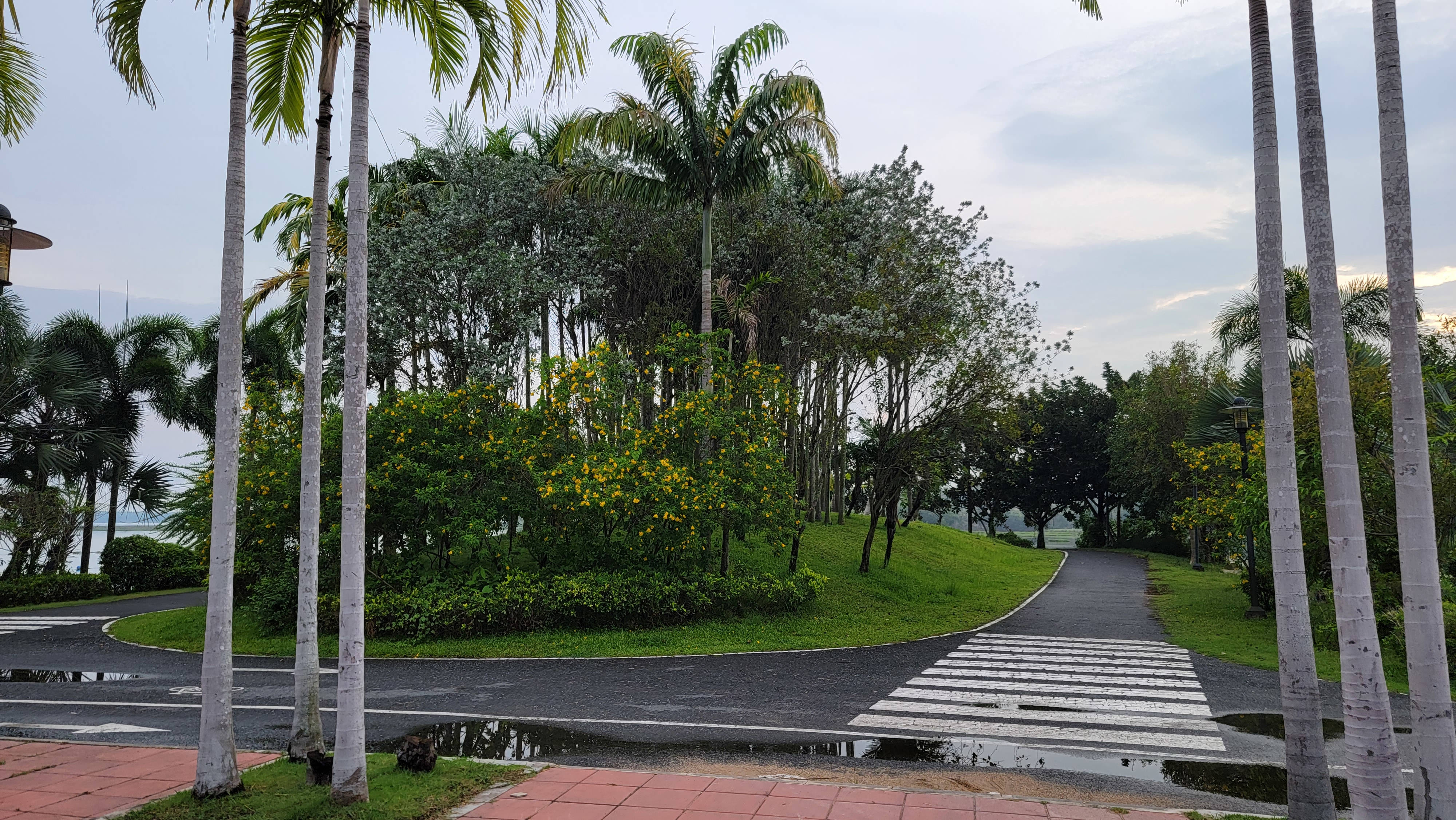
The road leaving the park is again divided into a pedestrian road and a cyclist road. There are several exercise machines in the pedestrian part.
View from the park to the evening lake.
Where to rent bikes near Lake Map Phrachan
Shops where you can rent bicycles are mainly concentrated at the beginning of the route, in the area of a large parking lot, which is indicated on the map by a geometric figure with the name “Parking lot”, and also next to the Map Prachan Reservoir Park.
The rental price in most places is 50 baht for 3 hours.
In addition to bicycles for adults, some shops have bicycles for teenagers and children.
I placed all the bike rentals I found on the map above on the “Bicycle rental near Map Phrachan Lake” layer.
- Kottonmouth cycle services
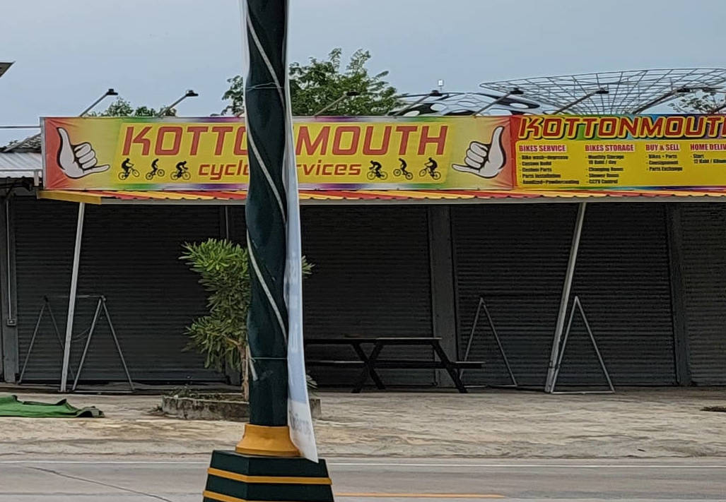
The very first bike rental shop is located right in front of a large parking lot at the beginning of the bike path.
In addition to renting bicycles, this shop offers the following services:
- bike storage
- purchase and sale of bicycles and accessories for them
- delivery of your bike to your home
For some reason, this store was not open when I first saw it (which is why the photo is not very high quality). But later, driving by, I saw that this store still works.
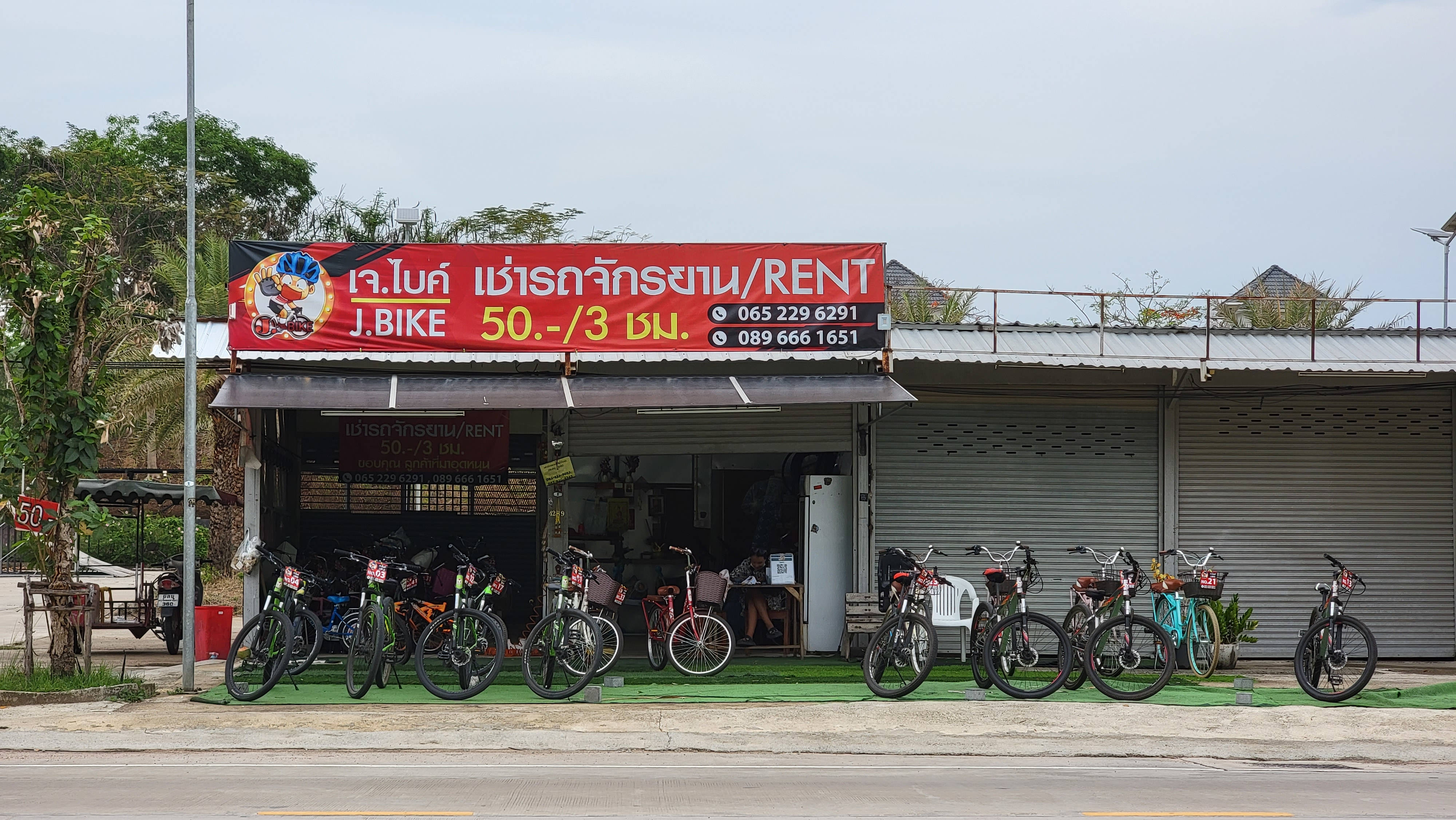
- J. Bike
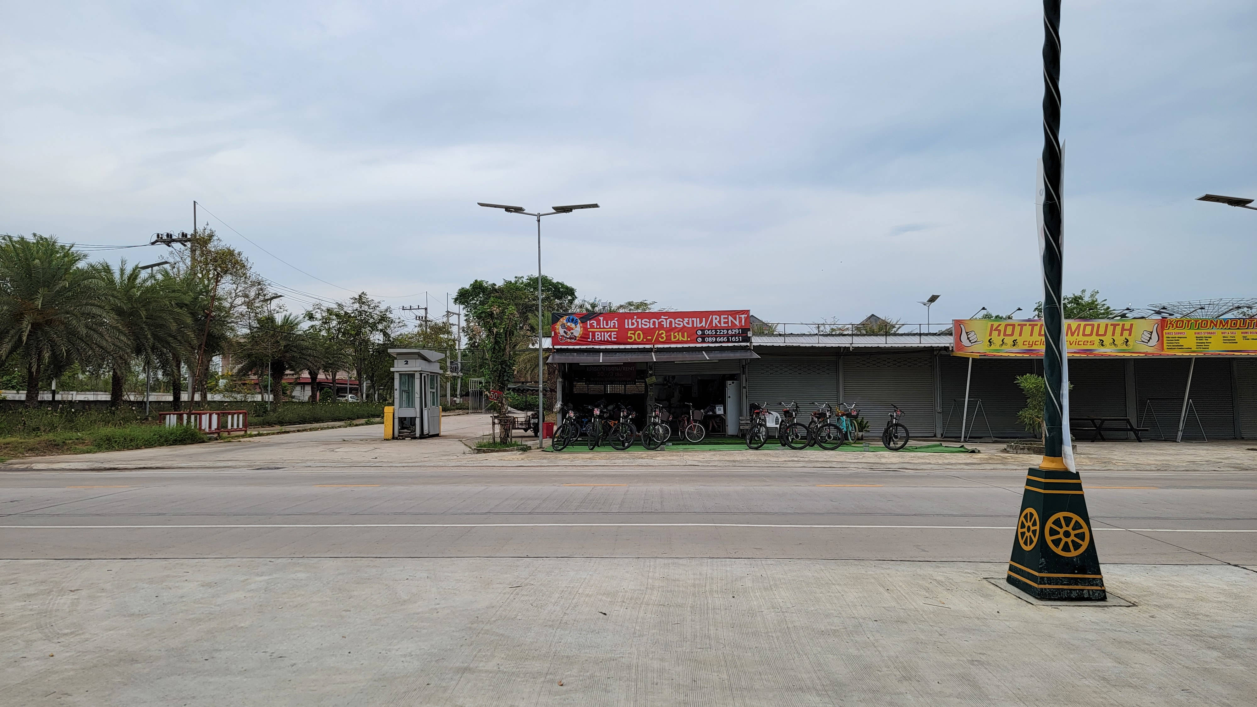
Located at the beginning of the route, in front of a large parking lot
- Bike for rent
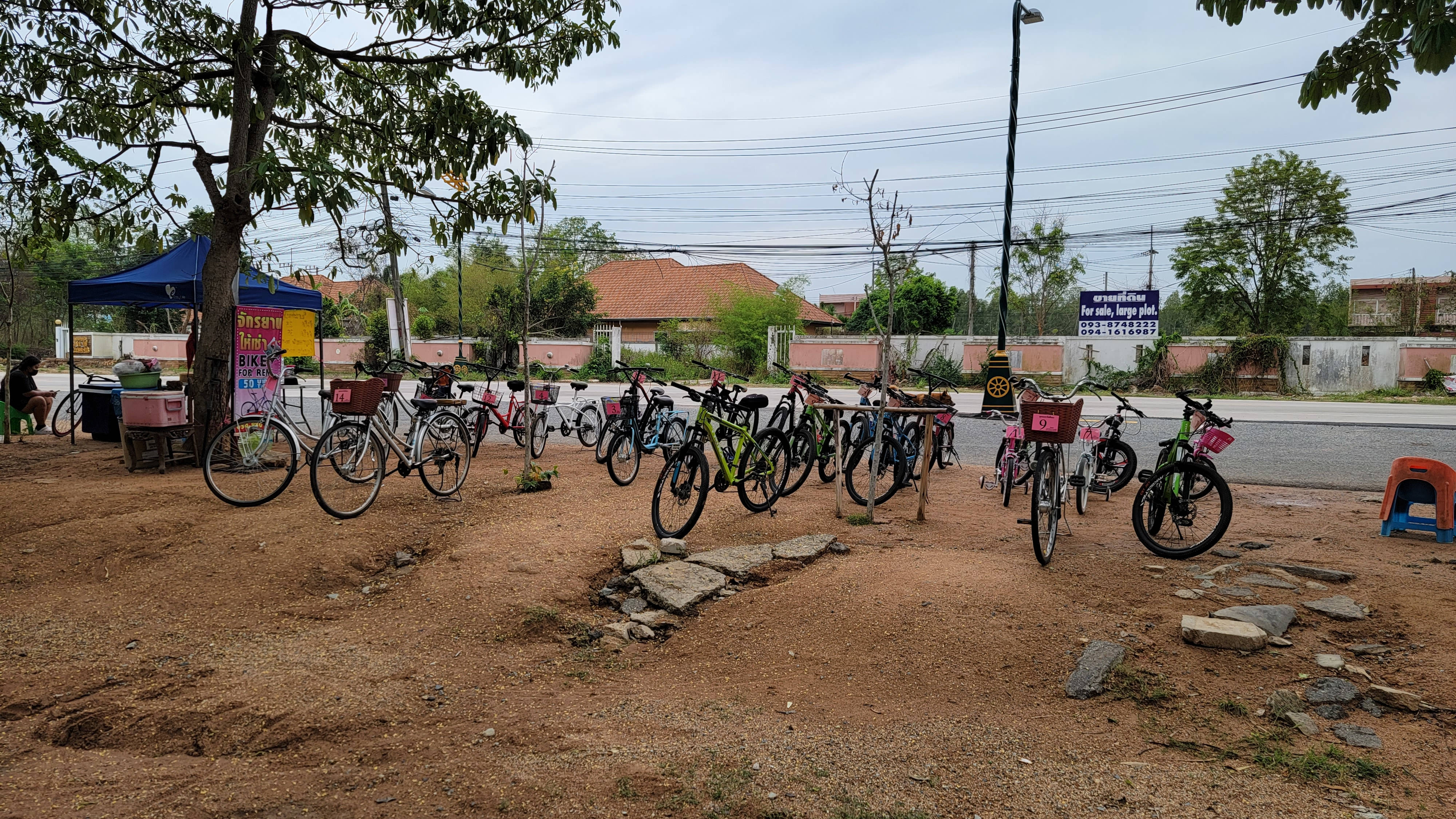
Another bike rental shop at the beginning of the route, the peculiarity is that it is located on the same side of the street as the lake, that is, you do not need to cross the road
- Bike for rent #2

Located near the start of the route

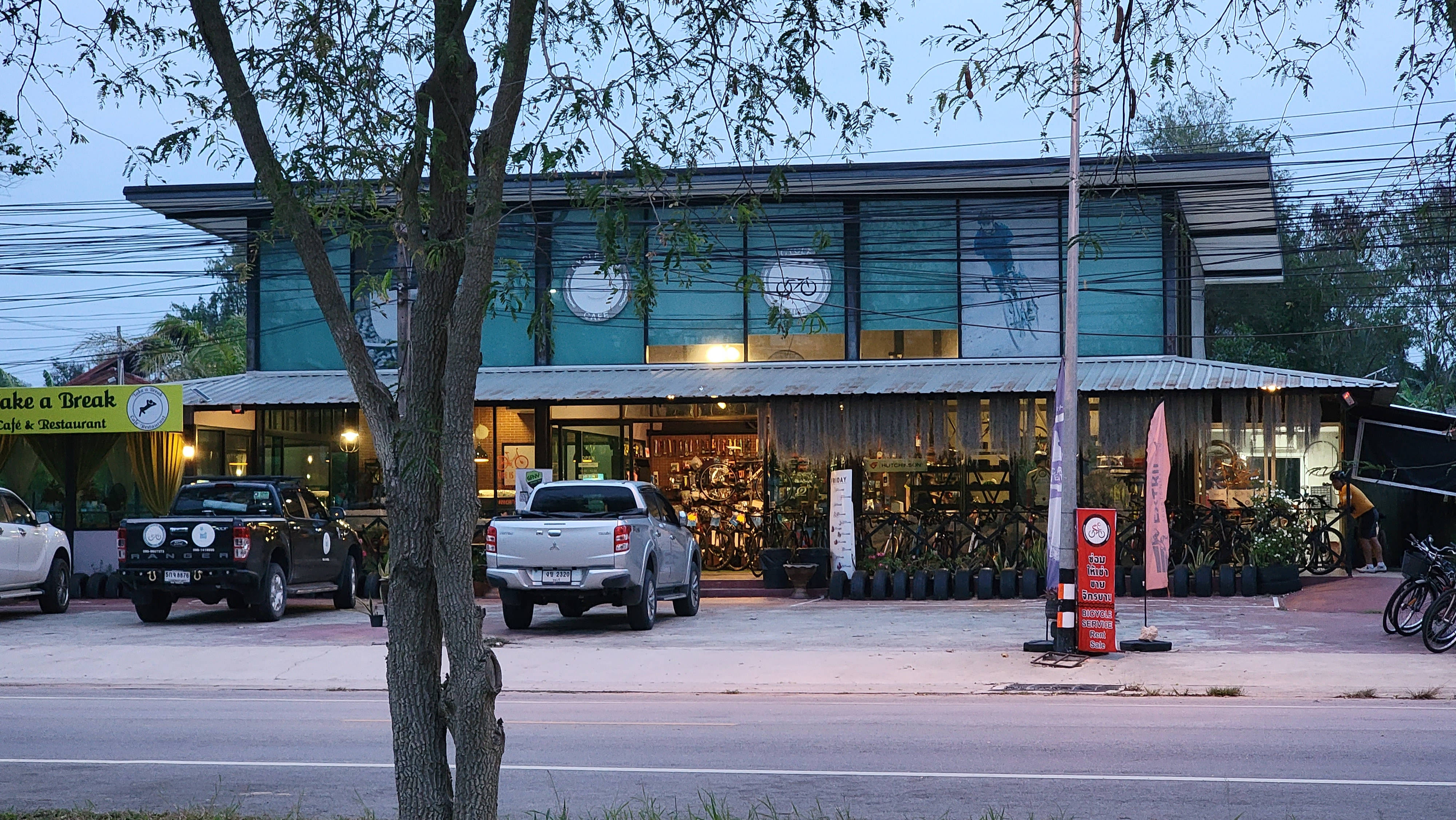
- Cycle Hub

Bicycle shop and cycling equipment, also offers bikes for rent
- Bike for rent #3

Bicycle rental near Map Prachan Reservoir Park

- Bike for rent #4
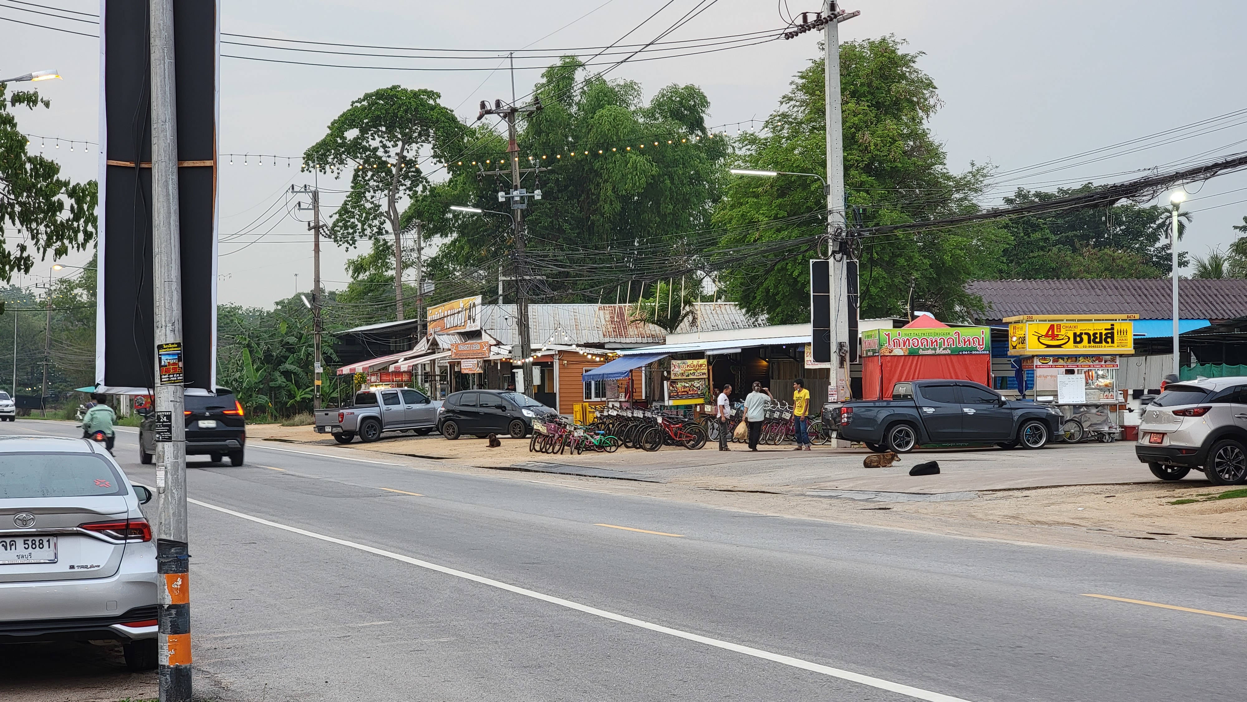
Bicycle rental next to Map Prachan Reservoir Park, close to the previous location, plenty of teen and kids bikes

Tickets for buses, ferries and trains, including connecting routes:
Air tickets to international and local destinations at the lowest prices:
Related articles:
- Khao Mai Keao Reservation Park is a great place for hiking near Pattaya (95.5%)
- Ban Amphoe Lake: hiking and cycling, picturesque sunrises and sunsets in the suburbs of Pattaya (93.6%)
- Park and lake in Sattahip for walking and sports (76.3%)
- A good alternative to Google Maps for hiking and cycling in wooded and mountainous areas (61.8%)
- Alternative Quarantine at AVANI Atrium Bangkok (50%)
- Rai Homfa: private park with a sea of flowers and places to relax (RANDOM - 17.8%)